


17 km | 23 km-effort
Assesse : découvrez les meilleures randonnées : 348 pédestres, 38 à vélo ou VTT et 16 parcours équestres. Tous ces circuits, parcours, itinéraires et activités en plein air sont disponibles dans nos applications SityTrail pour smartphones et tablettes.
Marche


• Crupet – Spontin – Centre géographique de Wallonie – Spontin – Durnal – Crupet Remarque : Possibilité de raccourci à...

Marche
• Crupet – Spontin – Centre géographique de Wallonie – Spontin – Durnal – Crupet Remarque : Possibilité de raccourci à...
Marche
• Découvrez, ou redécouvrez, le paysage qui vous entoure, se dessinant entre collines et vallées… Grâce à une table did...
Marche
• DE GARE À GARE EN PROVINCE DE NAMUR De Sart-Bernard à Andenne par le GRP575 Sart-Bernard – Mozet – Goyet – Strud – Gr...
Marche
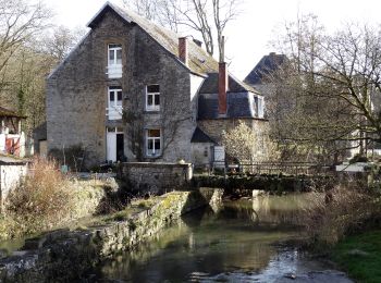
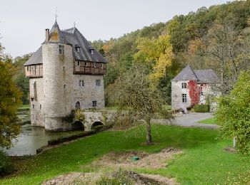
• Crupet, un des Plus Beaux Villages de WallonieCharmant petit village accroché aux flancs d'une étroite vallée boisée,...
Marche
• Cette boucle non balisée au départ de Crupet vous emmènera sur les hauteurs à travers bois et champs, en passant par ...
V.T.T.
• Cette boucle VTT au départ d'Assesse serpente à travers champs. Elle passe par Florée et son hameau de Maibelle et pa...

Marche
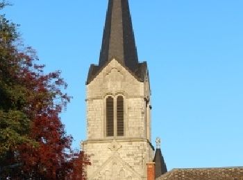
• Cet itinéraire sur terrain facile (rues et chemins)permet de découvrir le patrimoine du village de Sorinne-la-Longue.
Marche
• Cette boucle pédestre au départ d'Assesse serpente à travers bois et champs jusqu'au bois de Sorinne.
Marche
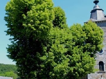
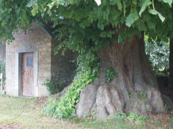
• Cette boucle pédestre permet de découvrir Florée et son hameau Maibelle, où trône un tilleul multicentenaire.
Marche
• Ce circuit pédestre au départ d'Assesse parcourt la campagne autour du village, offrant des points de vue intéressants.
Marche
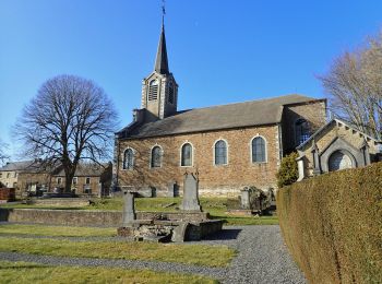
• Belle promenade facile au départ de l'église de Sorinne-la-Longue
Marche
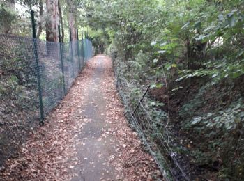
• belle balade forestiere
A pied
• Au départ du parking communal situé à l'arrière de la Brasserie le " Pâchis " ... un parcours campagnard par le villa...
Marche
• Marche belle région
Marche
• Cet itinéraire sur terrain facile (rues et chemins) permet de découvrir le patrimoine du village de Florée.
Marche
• Crupet, un des Plus Beaux Villages de WallonieCharmant petit village accroché aux flancs d'une étroite vallée boisée,...

Marche
• Classique entre Crupet et Yvoy puis Arche vers Sart Bernard (via la Vierge Noire) Plus loin à hauteur du Bois de Sèch...
V.T.T.
• Voilà une randonnée au départ de Courrière et à Assesse entre le Bocq et le Samson dans la région de Namur .Une belle...

A pied
• sentiers de campagnes,
20 randonnées affichées sur 453
Application GPS de randonnée GRATUITE
 SityTrail
IGN / Instituts géographiques
SityTrail World
Le monde est à vous