


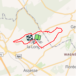


12,6 km | 15,6 km-effort

Utilisateur GUIDE


Application GPS de randonnée GRATUITE
 SityTrail
IGN / Instituts géographiques
SityTrail World
Le monde est à vous
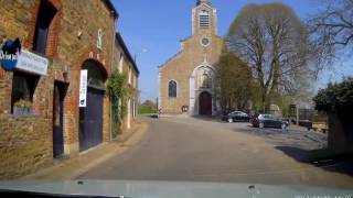
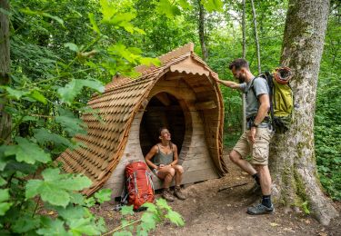
Randonnée Marche de 10,9 km à découvrir à Wallonie, Namur, Assesse. Cette randonnée est proposée par Desrumaux.
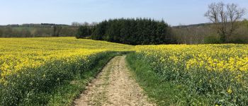
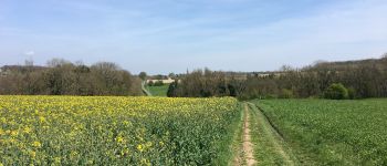
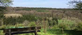
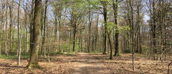
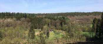
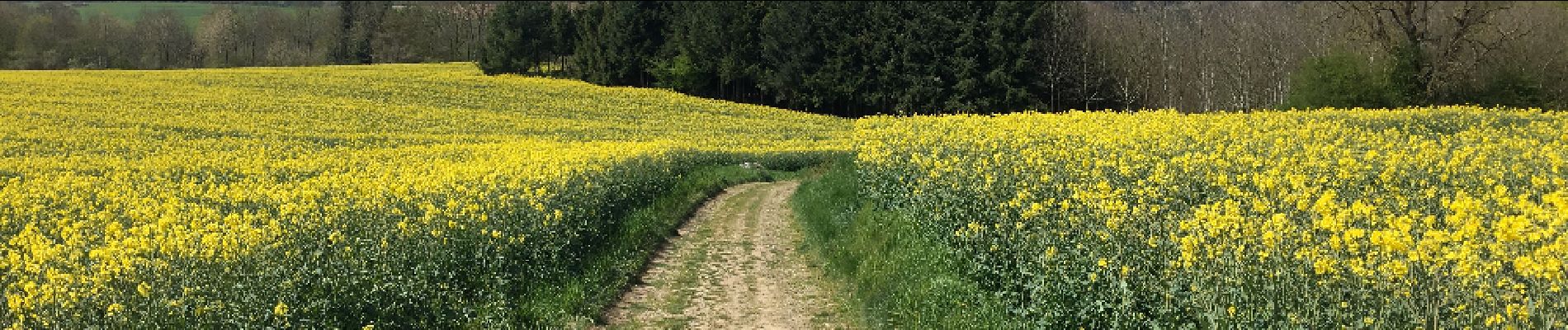
Jolie balade au départ du village de Sorinne-la-Longue dans la belle entité d'Assesse en empruntemps le très beau sentier réhabilité "Li Yerdau"


Marche

Marche

Marche

Marche

Marche

Marche

Marche
A pied

Marche