


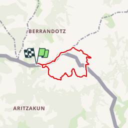


11 km | 19,5 km-effort

Utilisateur


Application GPS de randonnée GRATUITE
 SityTrail
IGN / Instituts géographiques
SityTrail World
Le monde est à vous
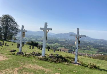
Randonnée Marche de 10,3 km à découvrir à Nouvelle-Aquitaine, Pyrénées-Atlantiques, Itxassou. Cette randonnée est proposée par DECHAMPD.
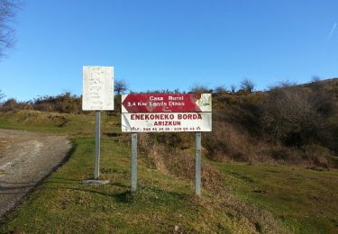
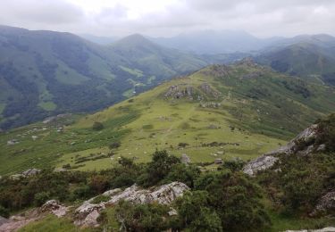
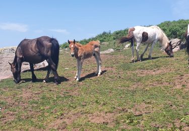
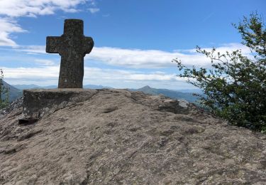
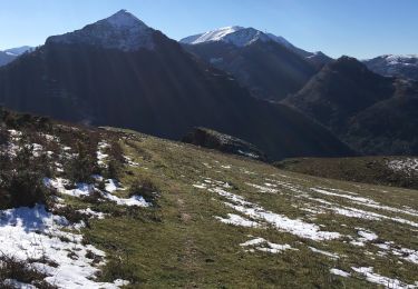
depuis le col des veaux, colet pic d'Iguzkiegi par ex GR10, Méhatché, Artzatey, Espalza, pic Itsusi et Irazelaiko


Marche

Marche
Marche
Marche
Marche
Marche
Marche
Marche
Marche