


9,2 km | 14,1 km-effort
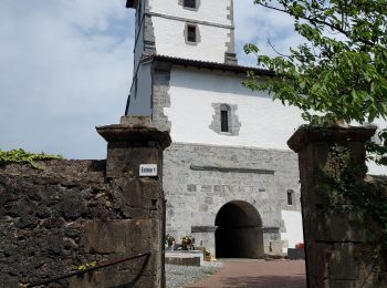
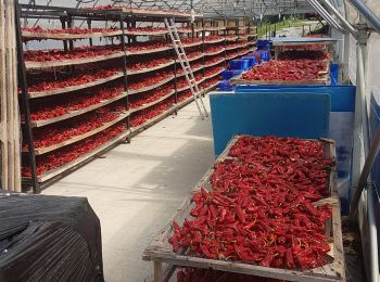
Itxassou : découvrez les meilleures randonnées : 80 pédestres et 4 à vélo ou VTT. Tous ces circuits, parcours, itinéraires et activités en plein air sont disponibles dans nos applications SityTrail pour smartphones et tablettes.
Marche


Marche
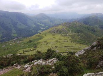
• Circuit de l'Artzamendi
Marche
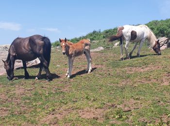
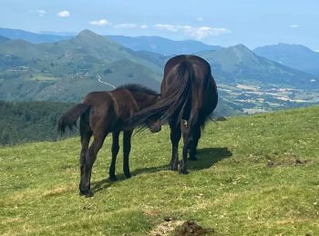
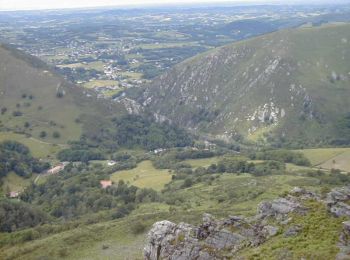
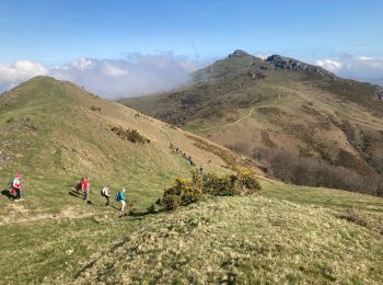
• Rando typique pour decouvrir le pays Basque Très beaux panoramas
Marche
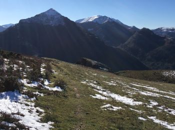
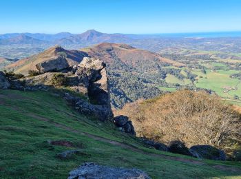
• magnifique
Marche
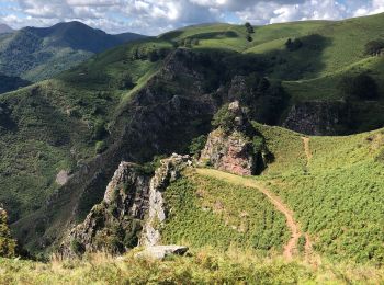
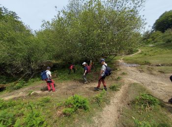
• Démarrage un peu chaotique, à travers quelques ronces et arbres couchés, puis la suite est superbe.
Marche
• Attention pour rejoindre le col des veaux route très étroite. Superbe randonnée sur un ancien PR
Marche
• 2020 06 01 départ du parking Haraneko borda 338m. Contour de l'Escondray, col d'Amezketa, pic du Mondarrain, pic d'O...
Marche
• Magnifique randonnées avec une montée aux Peñas des plus pittoresque, puis un sentier qui avant de redescendre longe ...
Marche
• Une petite boucle qui permet de découvrir les peñas sans trop se fatiguer.

Marche
• boucle autour des Peñas de Itsusi au départ du col de Méhatché (avant l'Artzamendi 926m) facile à effectuer de préfé...

Marche
• En boucle du col de Légarré au col de Zuharrétako Lépoa. Grand classique du pays Basques. Attention tout de même au c...
Marche
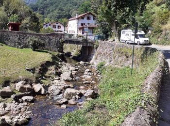
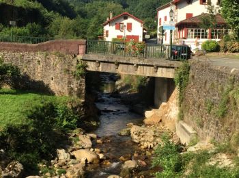
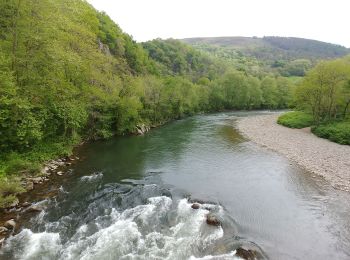
• Départ de la ville et on longe la Nive. Après une belle montée redescente en pente douce.
Marche
• Un circuit panoramique au Pays Basque pour découvrir de nombreux sommets en partant du site du Pas de Roland à Itxass...
Marche
Marche
Marche
Marche
Marche
Marche
• balade en boucle dans itxassou
Marche
• depuis le col des veaux, colet pic d'Iguzkiegi par ex GR10, Méhatché, Artzatey, Espalza, pic Itsusi et Irazelaiko
20 randonnées affichées sur 92
Application GPS de randonnée GRATUITE
 SityTrail
IGN / Instituts géographiques
SityTrail World
Le monde est à vous