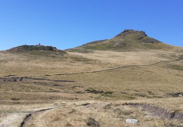
Randonnée Marche Chastreix - Lae roc de Courlande - Photo
 neleda
neleda

Utilisateur

© OpenStreetMap contributors
Longueur
Longueur
12,1 km
Altitude max
Altitude max
1470 m
Dénivelé positif
Dénivelé positif
504 m
Km-Effort
Km-Effort  
18,8 km
Altitude min
Altitude min
1030 m
Dénivelé négatif
Dénivelé négatif
503 m
Boucle
Boucle
Oui
Date de création :
2016-09-06 00:00:00.0
Dernière modification :
2016-09-06 00:00:00.0

(0 Avis)

Marche
Marche
4h34
Difficulté : Inconnu

Scannez ce code QR pour ouvrir la randonnée dans l'application SityTrail

Application GPS de randonnée GRATUITE

Logo SityTrail SityTrail

IGN / Instituts géographiques

Télécharger SityTrail sur l'App Store Télécharger SityTrail sur Google Play

Logo SityTrail SityTrail World

Le monde est à vous

Télécharger SityTrail sur l'App Store Télécharger SityTrail sur Google Play Télécharger SityTrail sur Huawei AppGallery

À propos

Randonnée Marche de 12,1 km à découvrir à Auvergne-Rhône-Alpes, Puy-de-Dôme, Chastreix. Cette randonnée est proposée par neleda.

Profil altimétrique

Photos

Points d'intérêt

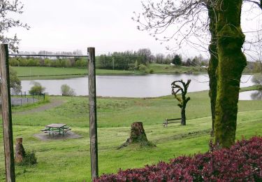
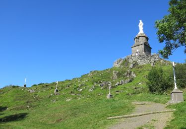
Point d'intérêt Chastreix - La roche de Courlade - Photo
neleda
Point d'intérêt Chastreix - Le mont Redon.  ( ! ) - Photo
neleda
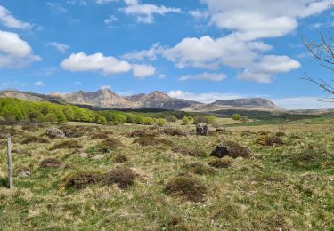
Point d'intérêt Chastreix - Puys Gros et Paillavet - Photo
neleda
Point d'intérêt Chastreix - Objectig rapproché - Photo
neleda
Point d'intérêt Chastreix - Objectif atteint  !  - Photo
neleda
Point d'intérêt Chastreix - selfie. heure du goûter - Photo
neleda
Point d'intérêt Chastreix - J'étais là-haut - Photo
neleda

Localisation

Pays :
France
Région :
Auvergne-Rhône-Alpes
Département/Province :
Puy-de-Dôme
Commune :
Chastreix
Localité :
Unknown
Départ:(Dec)
Départ:(UTM)
479240 ; 5039889 (31T) N.

Randonnées à proximité

Randonnée Marche La Tour-d'Auvergne - Tour_Auvergne_Chambourguet - Photo
Marche
GUIDE
jagarnier

Marche

Difficile
(1)
La Tour-d'Auvergne, Auvergne-Rhône-Alpes, Puy-de-Dôme, France
17,7 km | 24 km-effort
5h 0min
Oui
Randonnée Marche Chastreix - Chastreix. cascades et tourbières  - Photo
Marche
olivier78000

Marche

Facile
(1)
Chastreix, Auvergne-Rhône-Alpes, Puy-de-Dôme, France
13,8 km | 18,3 km-effort
4h 5min
Oui
Randonnée A pied La Tour-d'Auvergne - Chambourguet - Photo
A pied
GUIDE+

A pied

Moyen
La Tour-d'Auvergne, Auvergne-Rhône-Alpes, Puy-de-Dôme, France
16,8 km | 23 km-effort
5h 17min
Oui
Randonnée A pied Saint-Donat - Bertinet - Photo
A pied
GUIDE+

A pied

Facile
Saint-Donat, Auvergne-Rhône-Alpes, Puy-de-Dôme, France
7,9 km | 10 km-effort
2h 15min
Oui
Randonnée A pied Chastreix - Bois de la Masse - Photo
A pied
GUIDE+

A pied

Facile
Chastreix, Auvergne-Rhône-Alpes, Puy-de-Dôme, France
12,2 km | 16,2 km-effort
3h 40min
Oui
Randonnée A pied La Tour-d'Auvergne - Notre Dame de Natzy - Photo
A pied
GUIDE+

A pied

Facile
La Tour-d'Auvergne, Auvergne-Rhône-Alpes, Puy-de-Dôme, France
4,1 km | 5,8 km-effort
1h 19min
Non
Randonnée A pied Chastreix - Chastreix+la réserve_Bois_dela_Masse - Photo
A pied
v.rabot

A pied

Facile
(1)
Chastreix, Auvergne-Rhône-Alpes, Puy-de-Dôme, France
9 km | 12,4 km-effort
2h 48min
Oui
Randonnée Marche Chastreix - Chastreix - Photo
Marche
v.rabot

Marche

Difficile
Chastreix, Auvergne-Rhône-Alpes, Puy-de-Dôme, France
12,9 km | 16,8 km-effort
3h 49min
Oui
Randonnée Marche Chastreix - boucle de la fontaine salée  - Photo
Marche
la gane

Marche

Moyen
Chastreix, Auvergne-Rhône-Alpes, Puy-de-Dôme, France
9,1 km | 12 km-effort
2h 55min
Oui


Fermer
Mes abonnements