


13,8 km | 18,3 km-effort
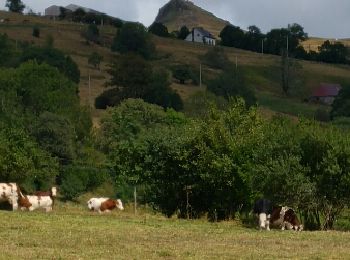
Chastreix : découvrez les meilleures randonnées : 54 pédestres, 2 à vélo ou VTT et 7 parcours équestres. Tous ces circuits, parcours, itinéraires et activités en plein air sont disponibles dans nos applications SityTrail pour smartphones et tablettes.
Marche


A pied
• Randonnée créée par CD63.

A pied
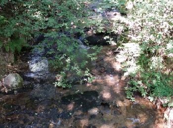
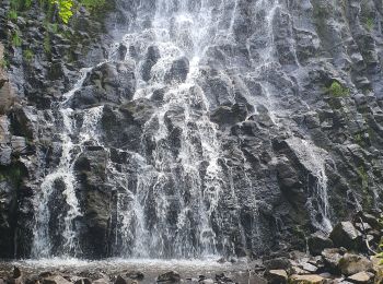
• La cascade est jolie, la zone humide ne l'était pas, pas de difficulté particulière à ce circuit.
Marche
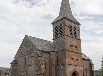
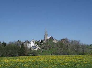
• Partant de l'église de Chastreix, on rejoint sans difficulté la réserve naturelle et le bois de la Masse qui offrira ...
Marche
• facile par temps sec
Marche
• Randonnée en boucle
Marche
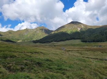
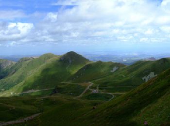
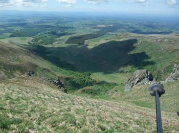
• La Vallée de la Fontaine Salée se situe au sud du Massif du Sancy, dans la réserve Naturel National de Chastreix-Sanc...
Marche
• belle randonnée boisée avec des beaux panoramas sur le puy du sancy et cascade.p
Marche
• Une randonnée très agréable et variée. Une partie ombragée s'effectue en sous bois et une autre , plus à découvert, o...
Marche
Marche
Marche
Marche
Marche nordique
• picherande 5.

Marche
Marche
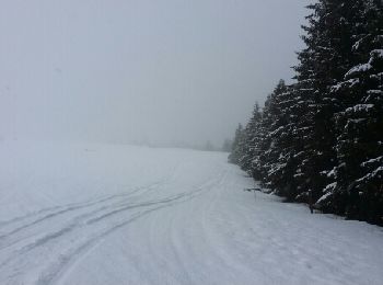
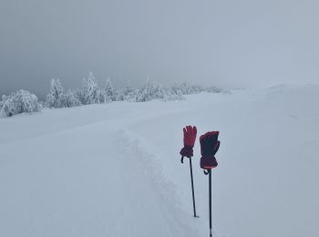
Raquettes à neige
V.T.T.
• Circuit officiel labellisé par la Fédération Française de Cyclisme. Secteur nature chargé d'histoire offrant une vue ...
V.T.T.
• Circuit officiel labellisé par la Fédération Française de Cyclisme. Secteur nature chargé d'histoire offrant une vue ...
Marche
• La vallée glacière de la Fontaine Salée est située sur le flanc sud du Massif du Sancy. Depuis le parking sur la D615...
20 randonnées affichées sur 76
Application GPS de randonnée GRATUITE
 SityTrail
IGN / Instituts géographiques
SityTrail World
Le monde est à vous