


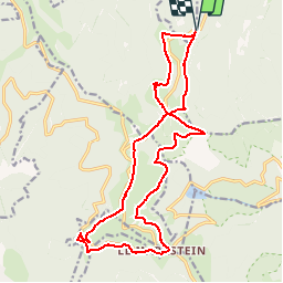


14 km | 19,8 km-effort

Utilisateur


Application GPS de randonnée GRATUITE
 SityTrail
IGN / Instituts géographiques
SityTrail World
Le monde est à vous
Randonnée V.T.T. de 18,8 km à découvrir à Grand Est, Haut-Rhin, Mittlach. Cette randonnée est proposée par sit68000.
Col du Platzerwaesel au Markstein :
Lauchenkopf - Breitfirst - F.Auberge Treh - Markstein - FA Steinlebach - Col d'Oberlauchen - F.Auberge Salzbach - Col Platzerwaesel
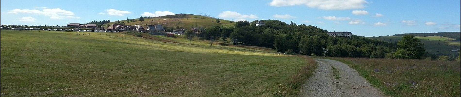
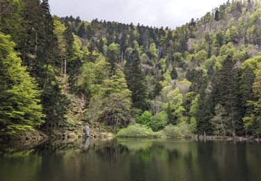
 - Photo 1")
 - Photo 2")
 - Photo 3")

Marche

Marche

V.T.T.

Marche

V.T.T.

Marche

Marche
Marche

Marche