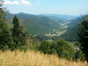
Mittlach, Haut-Rhin : Les meilleures randonnées, itinéraires, parcours, balades et promenades

5 commentaires

Mittlach : découvrez les meilleures randonnées : 78 pédestres et 5 à vélo ou VTT. Tous ces circuits, parcours, itinéraires et activités en plein air sont disponibles dans nos applications SityTrail pour smartphones et tablettes.


Les meilleurs parcours (89)
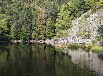
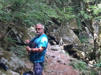
Randonnée Marche Mittlach - 2023-09-24 Marche Mittlach 5 Lacs - Photo
Marche 24.603
Km
GUIDE

Marche

Moyen
Mittlach, Grand Est, Haut-Rhin, France
25 km | 41 km-effort
9h 19min
1232 m
1233 m
Oui
holtzv

• Boucle à la journée au départ de Mittlach en passant par 5 lacs : Fischboedle, Schiessrothried, Lande, Blanchemer et ...
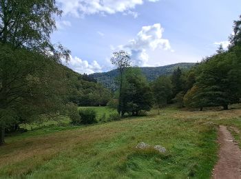
Randonnée Marche Mittlach - VOSGES 2023 - MITTLACH - Vallée de la Wormsa - Photo
Marche 11.499
Km
GUIDE

Marche

Moyen
Mittlach, Grand Est, Haut-Rhin, France
11,5 km | 17,9 km-effort
3h 29min
483 m
483 m
Oui
Michel1963

Randonnée Marche Mittlach - Mittlach 17/06/23 - Photo
Marche 11.391
Km

Marche

Difficile
(1)
Mittlach, Grand Est, Haut-Rhin, France
11,4 km | 18 km-effort
3h 35min
498 m
497 m
Oui
fario

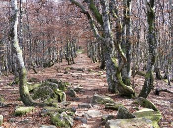
• Balade en foret pendant un séjour en Alsace Belle foret mais vraiement très sec pour un mois de Juin.
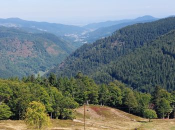
Randonnée Marche Mittlach - Mittlach Crête Steiwasen - Photo
Marche 16.997
Km

Marche

Difficile
Mittlach, Grand Est, Haut-Rhin, France
17 km | 27 km-effort
4h 33min
757 m
758 m
Oui
oscar1

• Randonnée qui débute par une montée sur plusieurs Kms en passant par le lac d'Altenweiher.Arrivée sur la crête une su...
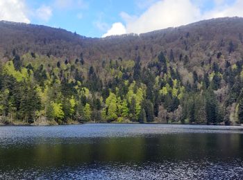
Randonnée Marche Mittlach - 2021-05-23 Marche Mittlach Rothenbachkopf - Photo
Marche 18.079
Km
GUIDE

Marche

Très difficile
Mittlach, Grand Est, Haut-Rhin, France
18,1 km | 33 km-effort
7h 30min
1125 m
1127 m
Oui
holtzv

Randonnée V.T.T. Mittlach - Col du Platzerwasel-Markstein - Photo
V.T.T. 19.741
Km

V.T.T.

Moyen
Mittlach, Grand Est, Haut-Rhin, France
19,7 km | 26 km-effort
2h 30min
507 m
505 m
Oui
sit68000

• Départ au parking près du Col du Platzerwasel puis direction la ferme-auberge Uff Rain.
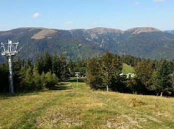
Randonnée V.T.T. Mittlach - Mittlach - Le Schweisel - Col d'Hahnenbrunnen - Station du Schnepfenried - Photo
V.T.T. 23.377
Km

V.T.T.

Difficile
Mittlach, Grand Est, Haut-Rhin, France
23 km | 34 km-effort
3h 30min
801 m
802 m
Oui
sit68000

• Après une bonne montée de 7km, arrivée sur les crêtes. Jolie parcours avec des points de vue à 360°. Repas à la ferme...

Randonnée Marche Mittlach - schnepfenried - Photo
Marche 5.153
Km

Marche

Moyen
(1)
Mittlach, Grand Est, Haut-Rhin, France
5,2 km | 7,8 km-effort
1h 40min
199 m
199 m
Oui
philippe2434

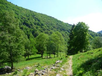
Randonnée Marche Mittlach - De Mittlach au lac de Fischboedle par la vallée de la Wormsa - Photo
Marche 7.01
Km

Marche

Moyen
Mittlach, Grand Est, Haut-Rhin, France
7 km | 12,1 km-effort
3h 0min
384 m
387 m
Oui
tracegps

• La vallée de la Wormsa se situe au fond de la vallée de Munster entre Metzeral et Mittlach. La vallée de la Wormsa es...
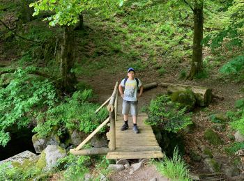
Randonnée Marche Mittlach - Lac altenweiher - Photo
Marche 5.243
Km

Marche

Moyen
Mittlach, Grand Est, Haut-Rhin, France
5,2 km | 8,8 km-effort
1h 59min
264 m
265 m
Oui
juliengsell

Randonnée Ski de randonnée Mittlach - Rando Mittlach - Photo
Ski de randonnée 9.13
Km

Ski de randonnée

Moyen
Mittlach, Grand Est, Haut-Rhin, France
9,1 km | 19,8 km-effort
4h 3min
795 m
820 m
Non
Jeepy68

Randonnée Marche Mittlach - Les chaumes du Breutfirst - Photo
Marche 15.934
Km

Marche

Moyen
Mittlach, Grand Est, Haut-Rhin, France
15,9 km | 22 km-effort
4h 6min
469 m
469 m
Oui
francoisecarlier

Randonnée Marche Mittlach - schnepfenried tour par platzervasen - Photo
Marche 13.512
Km

Marche

Moyen
Mittlach, Grand Est, Haut-Rhin, France
13,5 km | 19,4 km-effort
4h 0min
442 m
448 m
Non
heurtinpatrick

Randonnée Marche Mittlach - Sapin Kolben Altenweiher - Photo
Marche 5.41
Km

Marche

Mittlach, Grand Est, Haut-Rhin, France
5,4 km | 9 km-effort
2h 4min
267 m
290 m
Oui
irftz

Randonnée Marche Mittlach - Lac d'Altenweiher - Photo
Marche 12.001
Km

Marche

Très difficile
Mittlach, Grand Est, Haut-Rhin, France
12 km | 20 km-effort
5h 34min
635 m
635 m
Oui
Claudele

Randonnée V.T.T. Mittlach - Mittlach le Haut - Le Schweisel - Col du Hahnenbrunnen - Photo
V.T.T. 20.146
Km

V.T.T.

Difficile
Mittlach, Grand Est, Haut-Rhin, France
20 km | 30 km-effort
3h 40min
767 m
773 m
Oui
sit68000

• Après une montée assez dur de 7km, magnifique vue dégagée à 360° Possibilité de manger à la ferme-auberge Huss ou Ha...
Randonnée Marche Mittlach - Hochneck _ Mittlach - Photo
Marche 18.254
Km

Marche

Difficile
Mittlach, Grand Est, Haut-Rhin, France
18,3 km | 31 km-effort
5h 42min
984 m
985 m
Oui
bohynm

Randonnée Marche Mittlach - De Mittlach au lac de Fischboedle par la vallée de la Wormsa - Photo
Marche 7.01
Km
GUIDE

Marche

Facile
Mittlach, Grand Est, Haut-Rhin, France
7 km | 12,1 km-effort
3h 0min
384 m
387 m
Oui
Desrumaux

• Détails de la rando sur TraceGPS.com http://www.tracegps.com/fr/parcours/circuit11182.htm
Randonnée Marche Mittlach - Chapelle du Kolben - Rainkopf - Rothenbakopf - Photo
Marche 10.494
Km

Marche

Difficile
Mittlach, Grand Est, Haut-Rhin, France
10,5 km | 18,8 km-effort
3h 51min
620 m
622 m
Oui
lemuid

Randonnée Marche Mittlach - Wormsa - Sentier des Névés - Kerbholtz  - Photo
Marche 13.609
Km

Marche

Très difficile
Mittlach, Grand Est, Haut-Rhin, France
13,6 km | 25 km-effort
5h 40min
845 m
845 m
Oui
vaillantjm

• Il est préférable de commencer par la Wormsa et de poursuivre par la montée vers la Wormspel en raison des difficulté...

20 randonnées affichées sur 89

Application GPS de randonnée GRATUITE

Logo SityTrail SityTrail

IGN / Instituts géographiques

Télécharger SityTrail sur l'App Store Télécharger SityTrail sur Google Play

Logo SityTrail SityTrail World

Le monde est à vous

Télécharger SityTrail sur l'App Store Télécharger SityTrail sur Google Play Télécharger SityTrail sur Huawei AppGallery

Activités

Fermer
Mes abonnements