Randonnée V.T.T. Sarras - Sarras - Photo
 ramsay
ramsay

Utilisateur

© OpenStreetMap contributors
Longueur
Longueur
46 km
Altitude max
Altitude max
435 m
Dénivelé positif
Dénivelé positif
1501 m
Km-Effort
Km-Effort  
66 km
Altitude min
Altitude min
126 m
Dénivelé négatif
Dénivelé négatif
1502 m
Boucle
Boucle
Oui
Date de création :
2016-03-21 00:00:00.0
Dernière modification :
2016-03-21 00:00:00.0

(0 Avis)

V.T.T.
V.T.T.
4h05
Difficulté : Difficile

Scannez ce code QR pour ouvrir la randonnée dans l'application SityTrail

Application GPS de randonnée GRATUITE

Logo SityTrail SityTrail

IGN / Instituts géographiques

Télécharger SityTrail sur l'App Store Télécharger SityTrail sur Google Play

Logo SityTrail SityTrail World

Le monde est à vous

Télécharger SityTrail sur l'App Store Télécharger SityTrail sur Google Play Télécharger SityTrail sur Huawei AppGallery

À propos

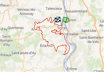
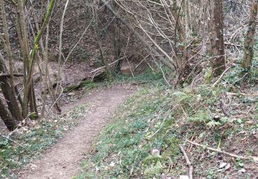
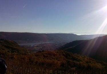
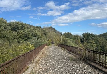
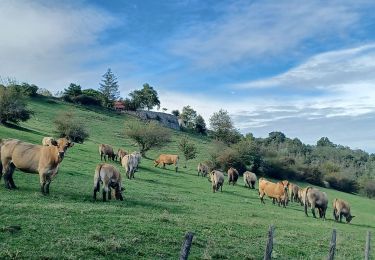
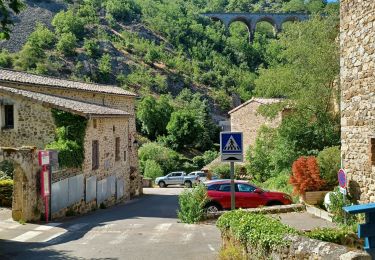
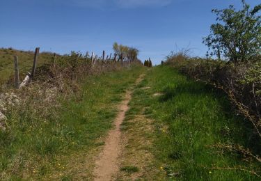
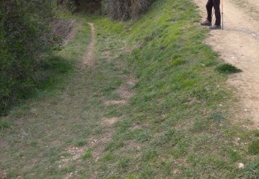
Randonnée V.T.T. de 46 km à découvrir à Auvergne-Rhône-Alpes, Ardèche, Sarras. Cette randonnée est proposée par ramsay.

Description

Rando 2016

Profil altimétrique

Localisation

Pays :
France
Région :
Auvergne-Rhône-Alpes
Département/Province :
Ardèche
Commune :
Sarras
Localité :
Unknown
Départ:(Dec)
Départ:(UTM)
641206 ; 5005808 (31T) N.

Randonnées à proximité

Randonnée Marche Saint-Uze - 26 au dessus de st uze chapelle ste euphemie - Photo
Marche
GUIDE
randodyssée

Marche

Facile
(1)
Saint-Uze, Auvergne-Rhône-Alpes, Drôme, France
10,9 km | 14,3 km-effort
2h 38min
Oui
Randonnée Marche Sarras - F07 Sarras Ardoix 2013 12 - Photo
Marche
ageo

Marche

Facile
(3)
Sarras, Auvergne-Rhône-Alpes, Ardèche, France
15 km | 21 km-effort
4h 59min
Oui
Randonnée V.T.T. Sarras - sarras eclassan ardoix sarras - Photo
V.T.T.
lolo07300

V.T.T.

Facile
(2)
Sarras, Auvergne-Rhône-Alpes, Ardèche, France
31 km | 42 km-effort
2h 40min
Oui
Randonnée Marche Thorrenc - Le lac de vert - Photo
Marche
jphugon

Marche

Très difficile
Thorrenc, Auvergne-Rhône-Alpes, Ardèche, France
14,9 km | 19,3 km-effort
6h 48min
Oui
Randonnée Marche Talencieux - 07 talencieux oraganise - Photo
Marche
GUIDE
randodyssée

Marche

Facile
Talencieux, Auvergne-Rhône-Alpes, Ardèche, France
14 km | 17,7 km-effort
3h 5min
Non
Randonnée Marche Saint-Uze - St  Uze à St Vallier - Photo
Marche
cousam

Marche

Moyen
Saint-Uze, Auvergne-Rhône-Alpes, Drôme, France
14,5 km | 21 km-effort
5h 30min
Non
Randonnée Marche Saint-Uze - 26 st use st vallier - Photo
Marche
GUIDE
randodyssée

Marche

Facile
Saint-Uze, Auvergne-Rhône-Alpes, Drôme, France
15 km | 22 km-effort
4h 0min
Non
Randonnée Marche Ponsas - Marche comite PONSAS - Photo
Marche
CHALLIER

Marche

Moyen
(1)
Ponsas, Auvergne-Rhône-Alpes, Drôme, France
8,3 km | 11,4 km-effort
2h 31min
Oui
Randonnée Via ferrata Saint-Vallier - 2016-01-16 14h49m10 - Photo
Via ferrata
chinonais

Via ferrata

Moyen
(1)
Saint-Vallier, Auvergne-Rhône-Alpes, Drôme, France
17,5 km | 26 km-effort
Inconnu
Oui


Fermer
Mes abonnements