


15 km | 21 km-effort
Sarras : découvrez les meilleures randonnées : 10 pédestres et 11 à vélo ou VTT. Tous ces circuits, parcours, itinéraires et activités en plein air sont disponibles dans nos applications SityTrail pour smartphones et tablettes.
Marche


• MJC. Rando agréable.

V.T.T.
• Au départ de Sarras un joli parcours pour l'entrainement.
Marche
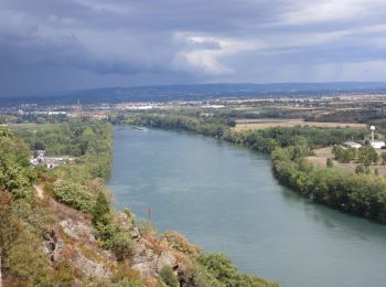
Vélo de route
• chari 20 09 19
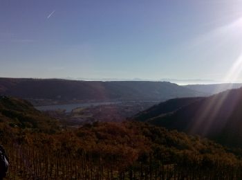
Vélo de route
• chari 20 09 19
Vélo
V.T.T.
• Rando 2016
V.T.T.
•
V.T.T.
• Réalisé par Jean Mi.
V.T.T.
• départ Sarras direction preaux
V.T.T.
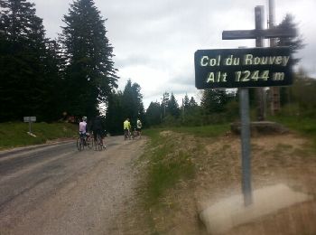
• Sarras Raid du 18/03/2012 circuit 52Km
V.T.T.
• Sarras (07) le 18/03/2012 circuit 42 Km
V.T.T.
• Raid de Sarras 18/03/2012 avec un départ pour 46Km mais une pluie battante a fait rebrousser chemin !

Marche
Marche
Marche

 18.933
sport
Marche
Marche
Marche
20 randonnées affichées sur 22
Application GPS de randonnée GRATUITE
 SityTrail
IGN / Instituts géographiques
SityTrail World
Le monde est à vous