


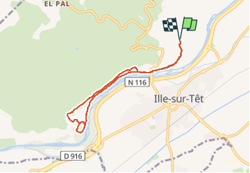

11 km | 15,3 km-effort


Utilisateur


Application GPS de randonnée GRATUITE
 SityTrail
IGN / Instituts géographiques
SityTrail World
Le monde est à vous
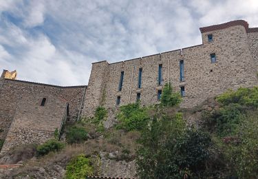
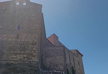
Randonnée Marche de 7,7 km à découvrir à Occitanie, Pyrénées-Orientales, Ille-sur-Têt. Cette randonnée est proposée par MarcOBRECHT.
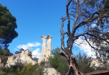
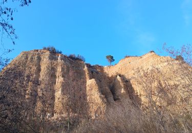
Depuis parking des orgues
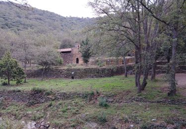
Par route le long de la Tet puis par route jusqu'à la chapelle.
Retour par route puis les long de la Tet

Marche
Marche
Marche
Marche
Marche
Marche
Marche

Marche

Marche