


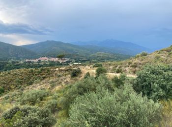
11 km | 15,3 km-effort
Ille-sur-Têt : découvrez les meilleures randonnées : 34 pédestres et 4 à vélo ou VTT. Tous ces circuits, parcours, itinéraires et activités en plein air sont disponibles dans nos applications SityTrail pour smartphones et tablettes.

Marche


Marche
Marche
Marche
• peu de difficultés
Marche
• Boucle
Marche
• sentiers chemins église 16 km 450 déni
Marche
• Rando facile

Autre activité
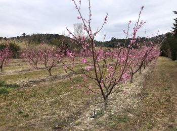
• 150 m 15 km rivière oxalide

Marche
• caminem

Marche
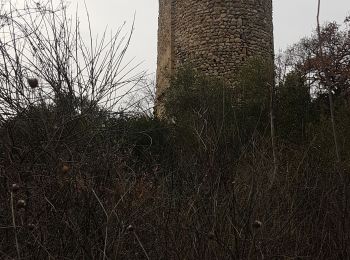
• jolie rando. se garer au bord de la Têt peut aussi s arrêter au château de Rodès
Marche
Marche
Marche
Marche
Marche
Marche
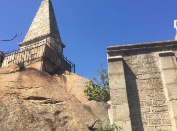
• Borne frontière

Marche
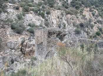
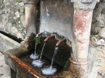
• site remarquable
Marche
Marche
Marche
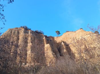
• Depuis parking des orgues Par route le long de la Tet puis par route jusqu'à la chapelle. Retour par route puis les l...
20 randonnées affichées sur 44
Application GPS de randonnée GRATUITE
 SityTrail
IGN / Instituts géographiques
SityTrail World
Le monde est à vous