


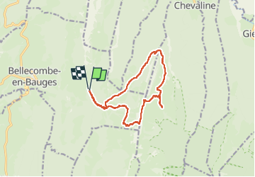

12,9 km | 29 km-effort

Utilisateur GUIDE


Application GPS de randonnée GRATUITE
 SityTrail
IGN / Instituts géographiques
SityTrail World
Le monde est à vous
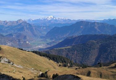
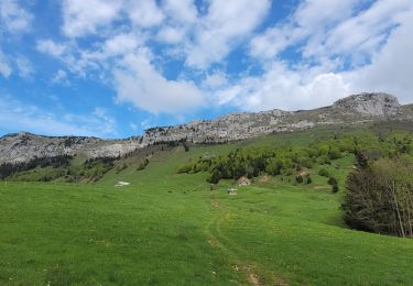
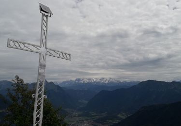
Randonnée Marche de 13,8 km à découvrir à Auvergne-Rhône-Alpes, Savoie, Bellecombe-en-Bauges. Cette randonnée est proposée par nadd73.
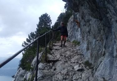
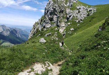
peu de marques bleues, parfois une trace, parfois rien, à 2 endroits il faut mettre les mains.
Avoir le pied sûr et éviter en cas d'humidité.


Ski de randonnée
Marche

Marche
Marche
Vélo électrique
Vélo électrique
Marche
Marche
Marche