


13,8 km | 27 km-effort
Bellecombe-en-Bauges : découvrez les meilleures randonnées : 87 pédestres et 5 parcours équestres. Tous ces circuits, parcours, itinéraires et activités en plein air sont disponibles dans nos applications SityTrail pour smartphones et tablettes.
Marche


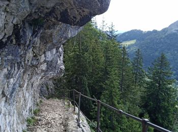
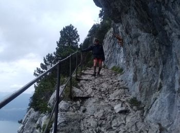
• peu de marques bleues, parfois une trace, parfois rien, à 2 endroits il faut mettre les mains. Avoir le pied sûr et ...
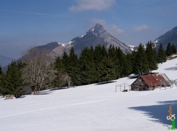
Ski de randonnée
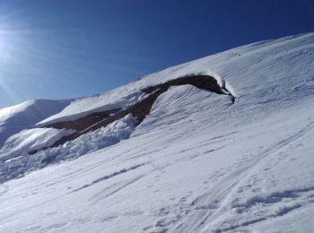
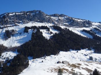
• Départ de Montdevant vers 11h. Le passage sous la dent était gelé à la montée, donc couteaux, et à la descente c'étai...
Marche
• aérien, 2 passages de désescalade exposés mais pas longs 2m. le refuge de la combe est ouvert en été sinon un chalet ...
Marche
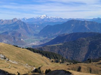
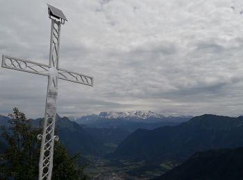
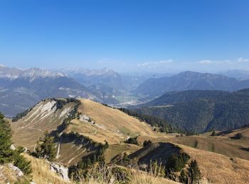
• A/R... live du 20241109. Pointe de Banc Plat (1907 m.): Un des plus beaux panoramas du massif des Bauges !

Marche
Marche
• Départ du reposoir, pas de difficulté .
Marche
• Très belle randonnée avec des points de vue magnifique. Une bonne condition physique est préférable, mais pas de gr...
Marche
• pat chantal
Marche
Marche
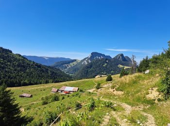
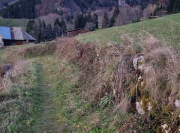
• Joli balade dans les alpages des Bauges et ses chalets. Vue sur le lac d'Annecy. Balisé sur tout l'itinéraire. D'aut...
Marche
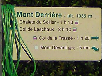
• Parking face à la route du mont derrière , aller vers mont Devant suivre le chemin puis le route vers le Reposoir Che...
Marche
• Belle balade dans les alpaged
Marche
• BOUCLE... la descente est raide, escarpée... de temps en temps "grasse"... mais, avant tout, pittoresque. LIVE... 202...
Marche
• 29 janvier 2018 Rando facile effectuée par très beau temps. Peu de neige a permis de ne pas utiliser les raquettes.

Marche
• sentier du Char
Marche
• départ des monts devant à bellecombe en bauges. jolis points de vue
Marche
Raquettes à neige
• La montée aux chalets de Précheret était impraticable. Le sentier était entièrement recouvert de glace pure et a occ...
Raquettes à neige
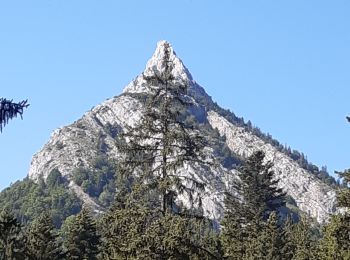
• Itinéraire de montagne. Le Mont Julioz offre de beaux parcours par son arête effilée, mais aussi des randonnées moins...

Marche
• Itinéraire de montagne. Le Mont Julioz offre de beaux parcours par son arête effilée, mais aussi des randonnées moins...
20 randonnées affichées sur 104
Application GPS de randonnée GRATUITE
 SityTrail
IGN / Instituts géographiques
SityTrail World
Le monde est à vous