


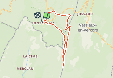

9,2 km | 14,2 km-effort


Utilisateur


Application GPS de randonnée GRATUITE
 SityTrail
IGN / Instituts géographiques
SityTrail World
Le monde est à vous
Randonnée Marche de 14,6 km à découvrir à Auvergne-Rhône-Alpes, Drôme, Bouvante. Cette randonnée est proposée par hugo26.
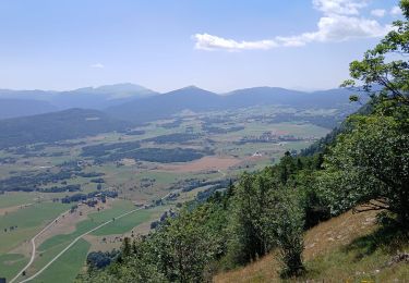
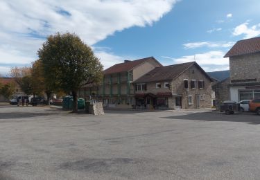
Belle boucle au départ de la station de Fond D'hurle via puy de la gagère proximité du col de la Chau puis parking.

Raquettes à neige

Marche

Marche

Marche
Marche

Marche
Marche

Marche

Marche