


9,2 km | 14,2 km-effort
Bouvante : découvrez les meilleures randonnées : 198 pédestres, 12 à vélo ou VTT et 31 parcours équestres. Tous ces circuits, parcours, itinéraires et activités en plein air sont disponibles dans nos applications SityTrail pour smartphones et tablettes.
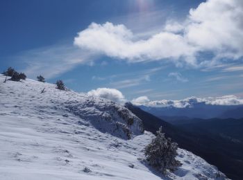
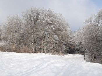
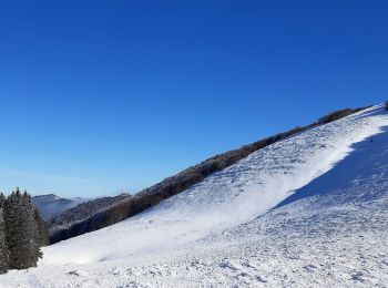
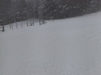
Raquettes à neige


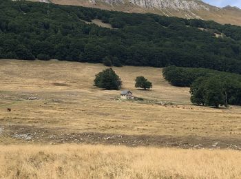
• Randonnée sur une petite journée à partir du mémorial de la résistance. Beau panorama sur le puy de la gagère. A fair...
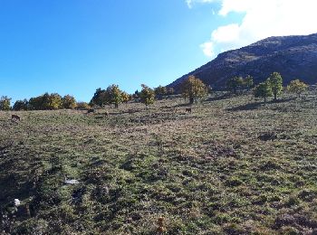
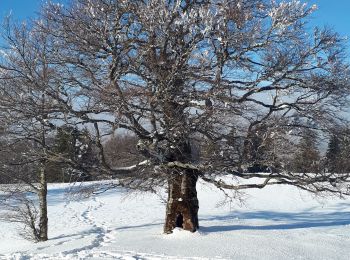
Marche
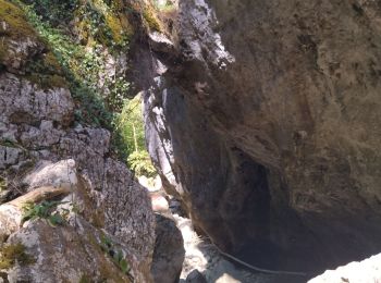
Marche
• zel secheresse
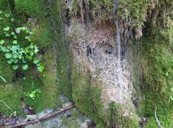
Marche
• zel 15.06.23
Marche
• 16.06.2021 gene prendre sentier balisé derrière ferme aux chiens direction nord col rioupeysson jusqu à été foresti...
Marche
• gene rando ombragée muguet et ail des ours au milieu rando pas du merle qques gros troncs sur sentier
Marche
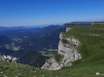
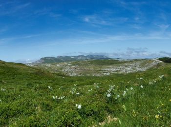
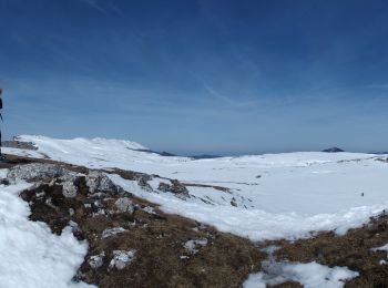
• Exploration du plateau de Font d'Urle qui jouxte celui d'Ambel dont la Tête de la Dame est visible dès le départ. La ...
Marche
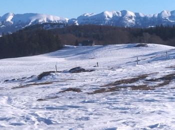
• Superbe tour des Gagères
Marche
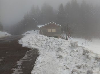
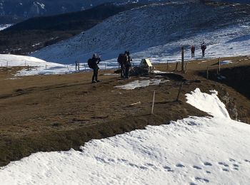
• Randonnée avec Mettons le Monde en Marche, de Lente au Col de la Machine Cheminement en raquettes en période hiverna...
Marche
• Randonnée avec Mettons le Monde en Marche, de la station de Font d'Urle à la Crête des Gagères. Cheminement en raque...
Marche nordique
• 29
Marche
• 26 01 22
Marche
• Tout simplement superbe
Marche
• très beau parcours réalisé le 27/5/22 par fort Mistral 45km/H supportable mais pas confortable.à noter toutefois une ...
Raquettes à neige
• z el
Raquettes à neige
• Raquettes
Raquettes à neige
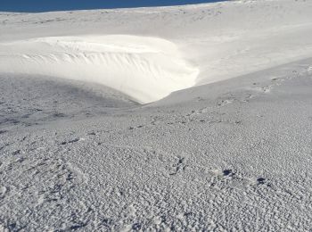
• trace effectuée en Mars 2015 faire uniquement par beau temps paysage sublime on peut racourcir pour le retour
Raquettes à neige
• I
Marche
• z electron
Marche
• elec
20 randonnées affichées sur 344
Application GPS de randonnée GRATUITE
 SityTrail
IGN / Instituts géographiques
SityTrail World
Le monde est à vous