


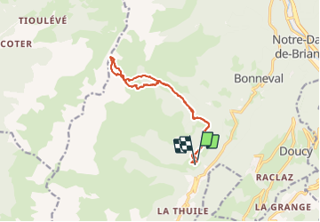

18,1 km | 34 km-effort

Utilisateur GUIDE


Application GPS de randonnée GRATUITE
 SityTrail
IGN / Instituts géographiques
SityTrail World
Le monde est à vous
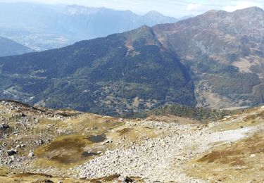
Randonnée Ski de randonnée de 13,2 km à découvrir à Auvergne-Rhône-Alpes, Savoie, La Léchère. Cette randonnée est proposée par nadd73.
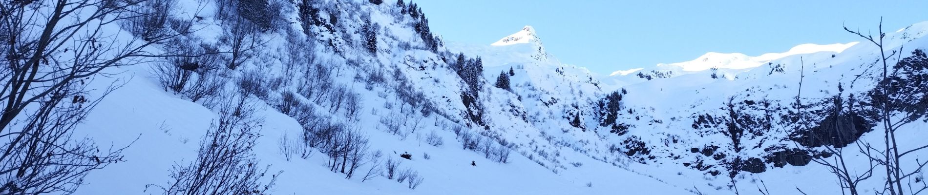
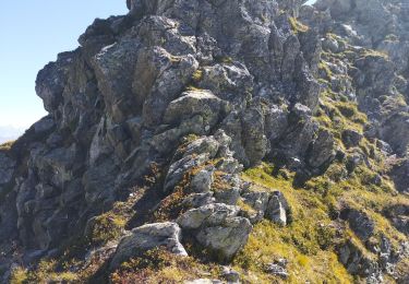
il est préférable de passer par l'itinéraire de descente car très galère par la montée que j'ai faite.
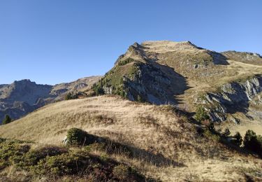
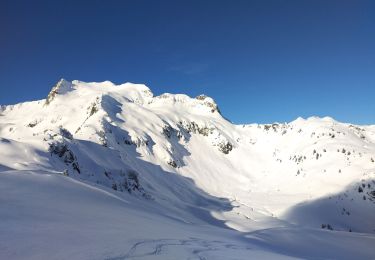
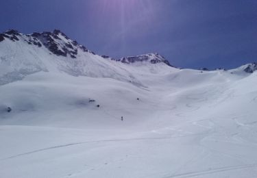
vue toujours aussi magnifique !


Marche

Ski de randonnée
Marche

Ski de randonnée
Ski de randonnée
Ski de randonnée
Marche
Marche
Ski de randonnée