


13,8 km | 33 km-effort
La Léchère : découvrez les meilleures randonnées : 94 pédestres et 12 à vélo ou VTT. Tous ces circuits, parcours, itinéraires et activités en plein air sont disponibles dans nos applications SityTrail pour smartphones et tablettes.
Ski de randonnée


Marche
• Une gde partie de passe hors sentier ou traces d'animaux. Parfois il faut mettre les mains. Prévoir de bonnes chaussu...
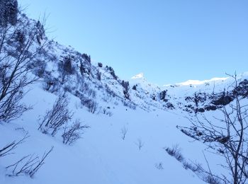
Ski de randonnée
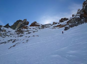
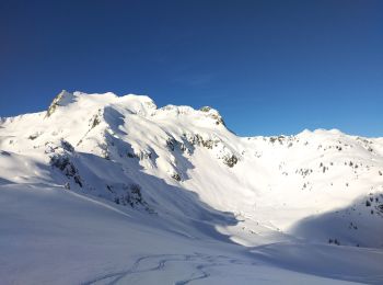
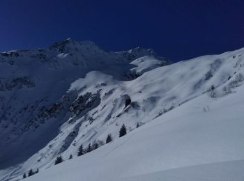
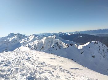
• 150m à 40 degrés
Ski de randonnée
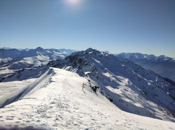
• 5 personnes en tout pour cette journée ensoleillée à souhait. En plus j'ai eu de la poudreuse ou de la neige ramollie.
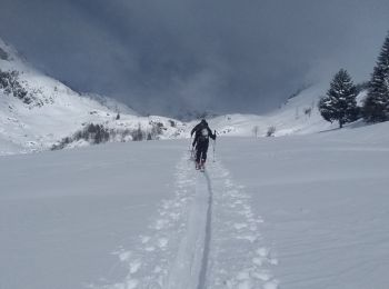
Ski de randonnée
• il est préférable de passer par l'itinéraire de descente car très galère par la montée que j'ai faite. vue toujours a...
Ski de randonnée
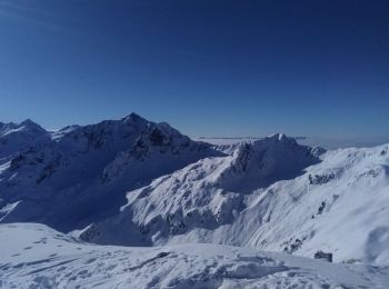
• Petite sortie, avec de la neige fraîche !
Marche
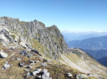
• Départ de Gelon. Attention au retour si vous passez par les crêtes, c'est aérien et il faut avoir le pied sûr. Ce son...
Marche
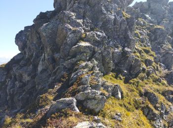
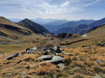
• Attention cette randonnée est hors sentiers et aérienne. La descente sous la pointe de Freydon est difficile. Un piol...
Ski de randonnée
• Départ de Necuday. Je suis montée dans la combe des Charmettes. Mais il parait que c'est plus joli en passant par le ...
Ski de randonnée
• Départ de Bonneval direction le replat. Belle randonnée agréable de monter dans la forêt avec quelques fenêtres pour ...
Ski de randonnée
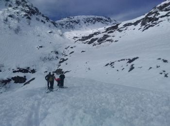
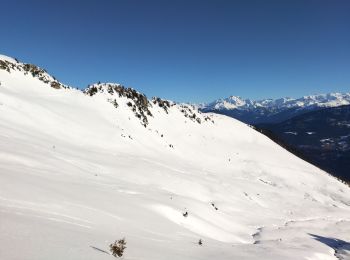
• Départ du Biollay bonne neige Pas de difficulté particulière
Ski de randonnée
• de Celliers, combe du plan descente Combe de bridan
Ski de randonnée
• départ Celliers
Marche
• Montée au refuge du Nant du Beurre par un mixte de chemin empierré et de sentier et terminer par le sentier balcon po...

Ski de randonnée
Ski de randonnée
Ski de randonnée
Marche
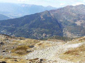
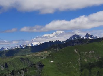
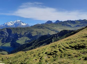
• Traversée pour ce beau sommet en extrémité du massif de la Maurienne. Le départ à partir du Col de la Madeleine empru...
Marche
Marche
• Les lacs de la tempête en Aller/Retour depuis Naves. Pour le départ de la rando, il faut remonter la piste forestière...
20 randonnées affichées sur 185
Application GPS de randonnée GRATUITE
 SityTrail
IGN / Instituts géographiques
SityTrail World
Le monde est à vous