


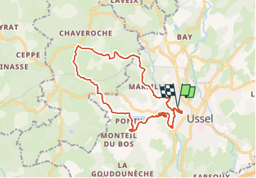

11,4 km | 15,5 km-effort


Utilisateur


Application GPS de randonnée GRATUITE
 SityTrail
IGN / Instituts géographiques
SityTrail World
Le monde est à vous
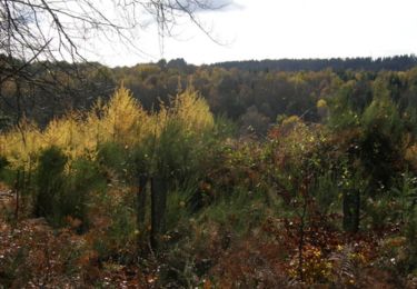
Randonnée V.T.T. de 17,4 km à découvrir à Nouvelle-Aquitaine, Corrèze, Ussel. Cette randonnée est proposée par 001951.89f3943ac4c74cd3a2ed4ab5cea31913.1745.

sport
Marche
V.T.T.

Marche
V.T.T.

Marche

Marche

sport

V.T.T.