


6,4 km | 8,7 km-effort
Ussel : découvrez les meilleures randonnées : 2 pédestres et 6 à vélo ou VTT. Tous ces circuits, parcours, itinéraires et activités en plein air sont disponibles dans nos applications SityTrail pour smartphones et tablettes.

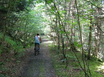
V.T.T.


• Puissance 3 variante - La Tourette - Pays de Haute Corrèze Centre de 3 énergies, la Tourette ! Les forces divines, si...
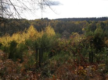
Marche
• Puissance 3 variante - La Tourette - Pays de Haute Corrèze Centre de 3 énergies, la Tourette ! Les forces divines, si...
V.T.T.
• Puissance 3 - La Tourette - Pays de Haute Corrèze Centre de 3 énergies, la Tourette ! Les forces divines, si vous dés...

Marche
• Puissance 3 - La Tourette - Pays de Haute Corrèze Centre de 3 énergies, la Tourette ! Les forces divines, si vous dés...

 48.661
sport
• Espace VTT Haute-Corrèze, circuit VTT n°7 (50 km) au départ de l'étang de Ponty. Ce circuit fait partie de la base VT...

V.T.T.
V.T.T.
V.T.T.
V.T.T.
9 randonnées affichées sur 9
Application GPS de randonnée GRATUITE
 SityTrail
IGN / Instituts géographiques
SityTrail World
Le monde est à vous