


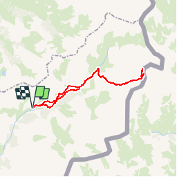

16,7 km | 31 km-effort

Utilisateur


Application GPS de randonnée GRATUITE
 SityTrail
IGN / Instituts géographiques
SityTrail World
Le monde est à vous
Randonnée Marche de 26 km à découvrir à Provence-Alpes-Côte d'Azur, Alpes-de-Haute-Provence, Saint-Paul-sur-Ubaye. Cette randonnée est proposée par PatDev.
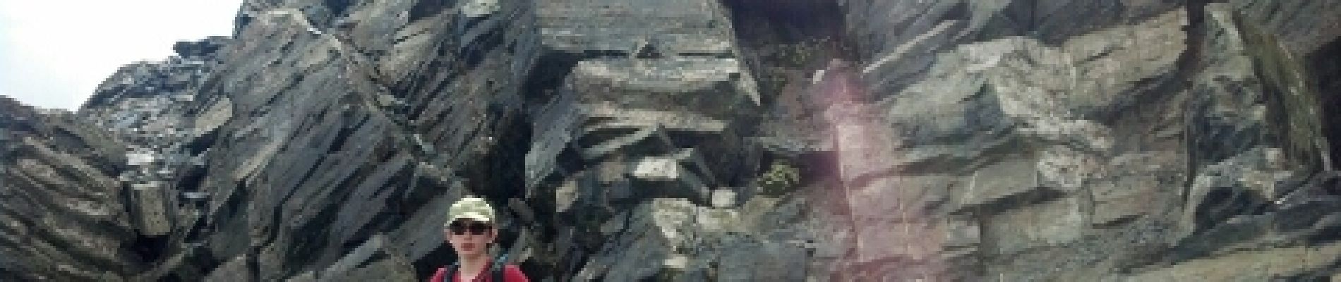
Très belle course longue et assez difficile lors de la montée finale (quelques passages où il faut mettre les mains)mais à la portée de tout bon randonneur. Du sommet très belle vue sur les alpes du sud et italiennes


Marche

Autre activité
Marche

Marche
Marche

Marche

Marche
Marche
Marche