


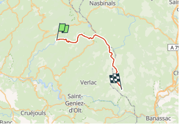

19 km | 28 km-effort


Utilisateur


Application GPS de randonnée GRATUITE
 SityTrail
IGN / Instituts géographiques
SityTrail World
Le monde est à vous
Randonnée Marche de 28 km à découvrir à Occitanie, Aveyron, Saint-Chély-d'Aubrac. Cette randonnée est proposée par DanielROLLET.
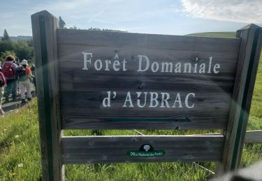
2022 09 15 GR6 (on quitte le GR65)
Départ hôtel "Les Coudercous" à Saint Chély-d'Aubrac.
Arrivée au gîte "La Combe aux Cerfs" à Noubloux
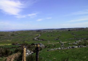
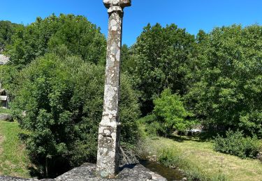
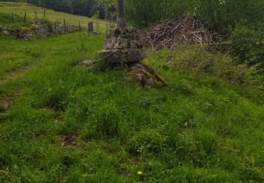
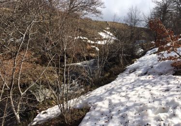
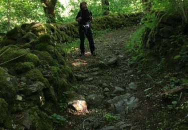
Montée de Saint Chély sans problème et en forêt.
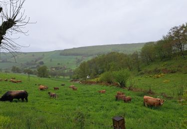
Étape plus "verte"
8h15 à 16h50
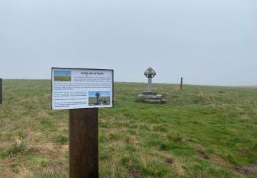
Étape longue et difficile.
Marche
Marche
Marche
Marche
Marche
Marche
Marche
Marche
Marche