


23 km | 30 km-effort
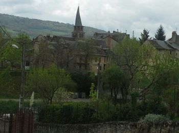
Saint-Chély-d'Aubrac : découvrez les meilleures randonnées : 160 pédestres, 8 à vélo ou VTT et 4 parcours équestres. Tous ces circuits, parcours, itinéraires et activités en plein air sont disponibles dans nos applications SityTrail pour smartphones et tablettes.
Marche


• Septième étape sur notre Chemin de Compostelle qui nous mène de Aubrac à St Come d'Olt. (Km 126,647 à Km 150.273) D’a...
Marche
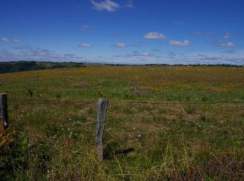
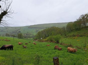
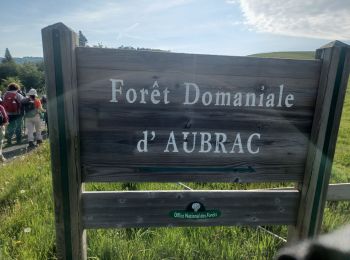
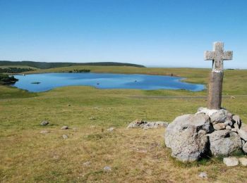
• L'Aubrac est un haut plateau volcanique et granitique situé au centre-sud du Massif Central et aux confins de trois r...
Marche
• par la liaison à Aubrac, puis Trélans
Marche
• 7ème Etape depuis Le Puy Un très bel acceuil au gite "Au fil de l'eau"
Marche
Marche
Marche
• Attention, marche magnifique, mais difficile. Le gps indique 33,4km en 2D, et 37km en 3D, car 2200m de dénivelé. Les ...
Marche
Marche
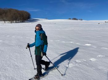
Raquettes à neige
Marche
Marche
Marche
• Randonnée Marche de 23 km à découvrir à Occitanie, Aveyron, Saint-Chély-d'Aubrac. Cette randonnée est proposée par pa...
Marche
• 1250m de dénivelé descendant. jolis paysages
Marche
• 6ème Etape (2/2) Plus intéressant de loger à Saint Chély car Aubrac est un peu la boite à touriste
Marche
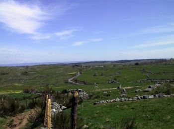
• le tour des monts d'aubrac
Marche
• Saint Jacques

Marche
Marche
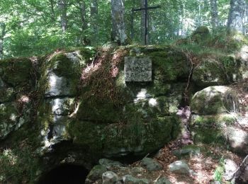
• Départ du centre d'Aubrac. Longue montée à travers bois, voir au passage la grotte refuge des résistants de 1943-45, ...
Vélo
• Circuit proposé par le Comité Départemental de Tourisme de l'Aveyron. Au départ de Saint-Chély-d'Aubrac, après la déc...
20 randonnées affichées sur 189
Application GPS de randonnée GRATUITE
 SityTrail
IGN / Instituts géographiques
SityTrail World
Le monde est à vous