


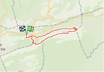

8,4 km | 15,5 km-effort

Utilisateur


Application GPS de randonnée GRATUITE
 SityTrail
IGN / Instituts géographiques
SityTrail World
Le monde est à vous
Randonnée Marche de 13,8 km à découvrir à Provence-Alpes-Côte d'Azur, Var, Plan-d'Aups-Sainte-Baume. Cette randonnée est proposée par patzierk.
Départ du parking de l'hostellerie de la Ste Baume
Montée par les 3 chaines jusqu'au pas de l'AÏ
Les crètes du Paradis jusqu'au Col de St Pilon
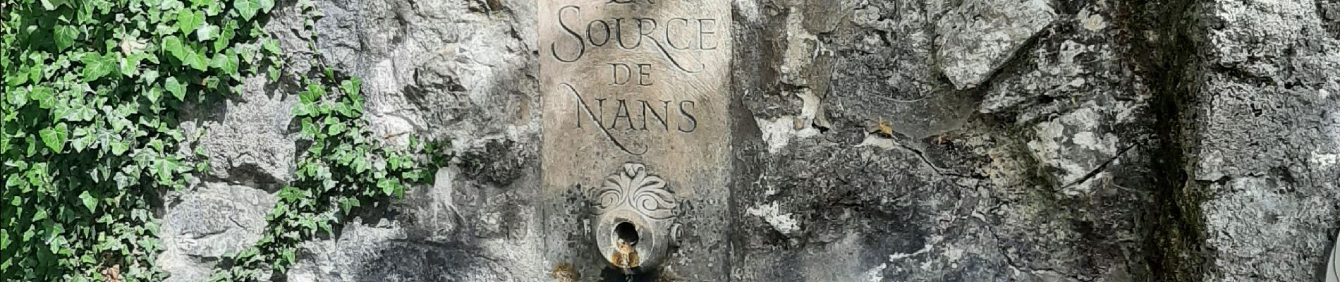
Descente par la source de Nanspour retourner au parking.


Marche

Marche

Marche

Marche

Marche

Marche

Marche

Marche

Marche