


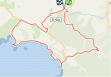

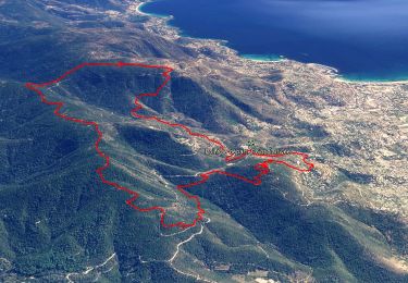
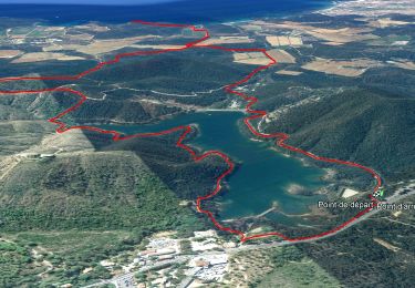
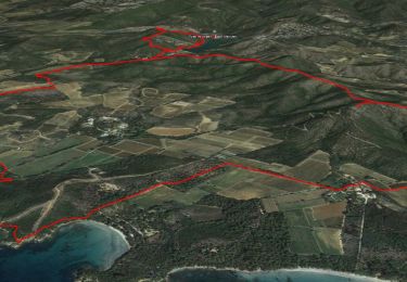
13,4 km | 21 km-effort

Utilisateur


Application GPS de randonnée GRATUITE
 SityTrail
IGN / Instituts géographiques
SityTrail World
Le monde est à vous
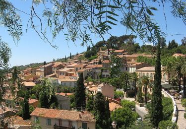
Randonnée Marche de 14 km à découvrir à Provence-Alpes-Côte d'Azur, Var, Bormes-les-Mimosas. Cette randonnée est proposée par Daniel.BRUN-PICARD.
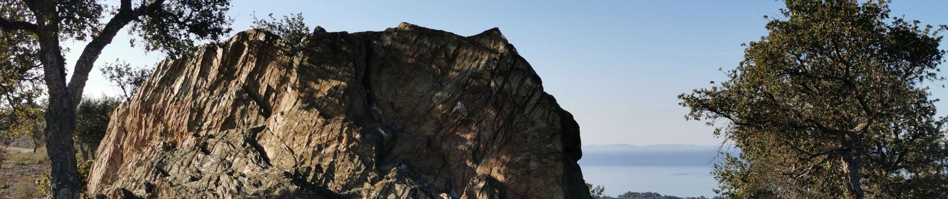
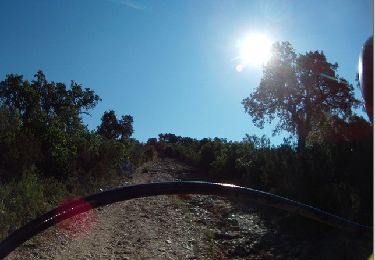
Très belle randonnée effectuée avec le Touring Club du Var.
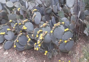
Les chemins sont variés et le paysages magnifiques.
Merci aux accompagnateurs.


Marche
Marche
Marche

Marche
Trail
Marche
Marche
Marche
Marche
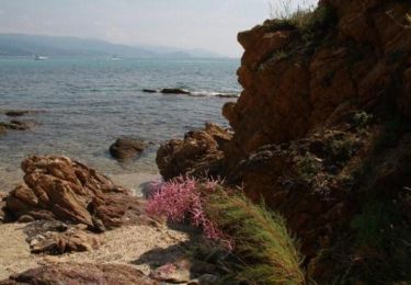
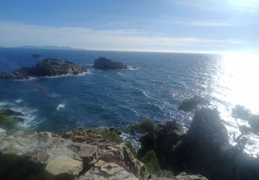
Merci pour ce beau tour, avec petite baignade 😊