

Crêtes de sainte Cécile

tophe13430
Utilisateur

Longueur
7,6 km

Altitude max
283 m

Dénivelé positif
201 m

Km-Effort
10,3 km

Altitude min
102 m

Dénivelé négatif
201 m
Boucle
Oui
Date de création :
2022-01-15 13:21:51.0
Dernière modification :
2022-01-15 15:38:14.3
2h15
Difficulté : Difficile

Application GPS de randonnée GRATUITE
À propos
Randonnée Trail de 7,6 km à découvrir à Provence-Alpes-Côte d'Azur, Bouches-du-Rhône, Eyguières. Cette randonnée est proposée par tophe13430.
Description
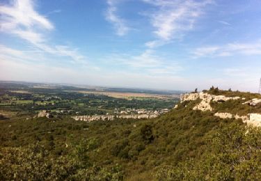
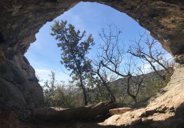
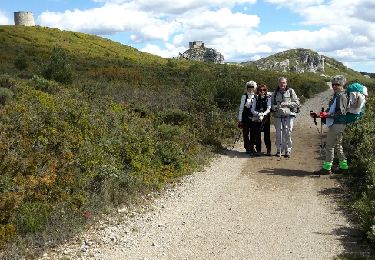
Itinéraire sportif sur les crêtes oscillant entre d’un côté Eyguieres et le vallon des Glauges.
Si vous avez de la chance vous croiserez les chèvres semi sauvages sur la partie sud de l’itinéraire.
Localisation
Pays :
France
Région :
Provence-Alpes-Côte d'Azur
Département/Province :
Bouches-du-Rhône
Commune :
Eyguières
Localité :
Unknown
Départ:(Dec)
Départ:(UTM)
663606 ; 4840832 (31T) N.
Commentaires
Randonnées à proximité
lamanon grottes calas


Marche
Très facile
(1)
Lamanon,
Provence-Alpes-Côte d'Azur,
Bouches-du-Rhône,
France

9,7 km | 13 km-effort
2h 38min
Non
La Tour des Opies


Marche
Difficile
Eyguières,
Provence-Alpes-Côte d'Azur,
Bouches-du-Rhône,
France

11,6 km | 16,9 km-effort
3h 33min
Oui

Lamanon Cales Facile


Marche
Facile
(1)
Lamanon,
Provence-Alpes-Côte d'Azur,
Bouches-du-Rhône,
France

6,2 km | 8,9 km-effort
1h 30min
Oui
Tour des Opies par les Barres Rouges


Marche
Moyen
Eyguières,
Provence-Alpes-Côte d'Azur,
Bouches-du-Rhône,
France

8,8 km | 14,1 km-effort
2h 52min
Oui
lamanon


Marche
Moyen
Lamanon,
Provence-Alpes-Côte d'Azur,
Bouches-du-Rhône,
France

14,3 km | 19,4 km-effort
6h 18min
Oui
Le Mont Menu


A pied
Facile
Eyguières,
Provence-Alpes-Côte d'Azur,
Bouches-du-Rhône,
France

6,1 km | 8,1 km-effort
2h 0min
Oui
PF-Lamanon - Le Mur aux Abeilles


Marche
Moyen
Lamanon,
Provence-Alpes-Côte d'Azur,
Bouches-du-Rhône,
France

6,5 km | 9,1 km-effort
2h 23min
Oui
eyguiers


Marche
Facile
Eyguières,
Provence-Alpes-Côte d'Azur,
Bouches-du-Rhône,
France

14,3 km | 17,6 km-effort
5h 10min
Oui
eyguieres


Marche
Très facile
Eyguières,
Provence-Alpes-Côte d'Azur,
Bouches-du-Rhône,
France

15,2 km | 19,5 km-effort
5h 50min
Oui


 SityTrail


