


8,8 km | 11,4 km-effort
Eyguières : découvrez les meilleures randonnées : 76 pédestres et 29 à vélo ou VTT. Tous ces circuits, parcours, itinéraires et activités en plein air sont disponibles dans nos applications SityTrail pour smartphones et tablettes.
Marche


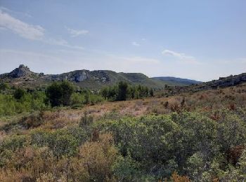
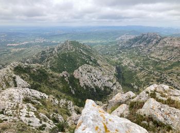
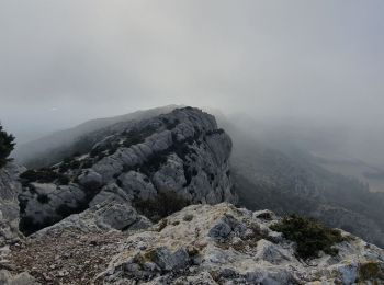
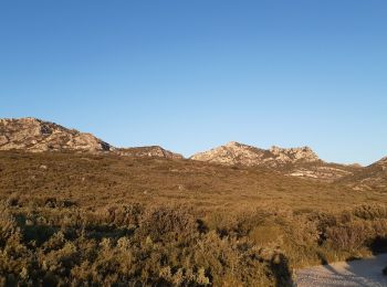
• A l'extrémité sud est du Massif des Alpilles et au dessus d'Eyguières, le Mont Menu se situe entre Les Opies - séparé...
Marche
Marche
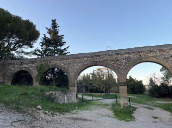
• Départ : parking des Arènes
Marche

Marche
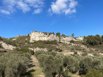
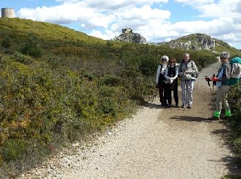
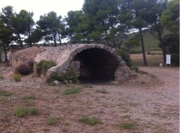
• Randonnée dans le Parc naturel régional des Alpilles à partir d'Eyguières dans les Bouches-du-Rhône. Ce circuit entre...
Marche
• Sentier pour partie non balisé Ne pas partir sans trace GPS.
A pied
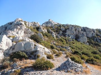
• Promenade sur le Mont Menu, en dehors des sentiers battus. Attention, ni jupe, ni short ! Les chênes Kermesses sont r...
Marche
• p1
Marche
• p1
 15.682
sport
Marche
Marche
Marche
Marche

A pied
• Télécharger les différents documents à votre disposition : guides touristiques, plus beaux itinéraires, circuit VTT e...
Marche
Marche
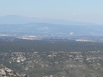
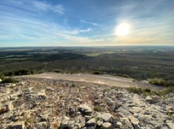
• Un joli point de vue sur la plaine de la Crau
Marche
• Promenade facile entre Eyguières et Sénas
Marche
•

Marche
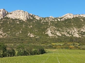
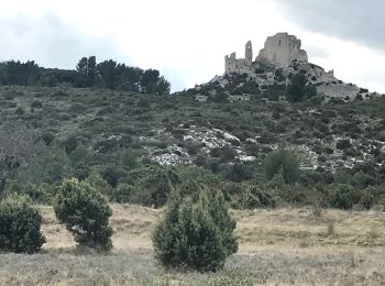
• les opies
20 randonnées affichées sur 111
Application GPS de randonnée GRATUITE
 SityTrail
IGN / Instituts géographiques
SityTrail World
Le monde est à vous