


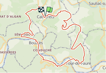


17,7 km | 24 km-effort


Utilisateur


Application GPS de randonnée GRATUITE
 SityTrail
IGN / Instituts géographiques
SityTrail World
Le monde est à vous
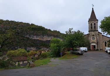
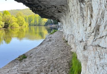
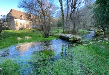
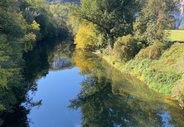
Randonnée V.T.T. de 28 km à découvrir à Occitanie, Lot, Cabrerets. Cette randonnée est proposée par sebcar.
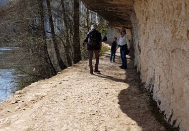
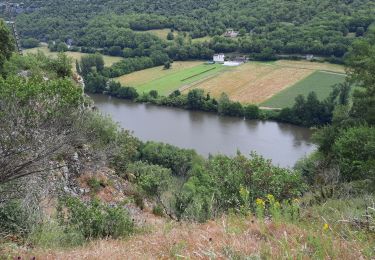
Un des plus beaux circuits du département mais également un des plus sportifs. Les panoramas sur la vallée du Célé, le passage à proximité de Saint- Cirq-Lapopie, un des plus beaux villages de France et Grand Site de Midi-Pyrénées sont grandioses…

Marche
Marche
Marche

Marche


sport
sport
Marche
Marche