


16,2 km | 24 km-effort
Cabrerets : découvrez les meilleures randonnées : 38 pédestres, 5 à vélo ou VTT et 8 parcours équestres. Tous ces circuits, parcours, itinéraires et activités en plein air sont disponibles dans nos applications SityTrail pour smartphones et tablettes.
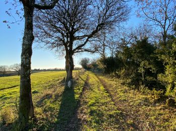
Marche


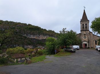
• Vallée du Célé
Marche
• 4 ème étape sur la Voie du Célé. Magnifiques lieux.
 11.614
sport
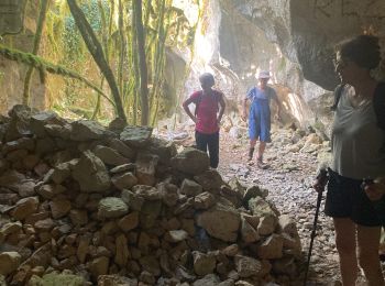
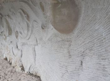
• La grotte du Pech de Merle mérite vraiment la visite
Marche
Marche
Marche
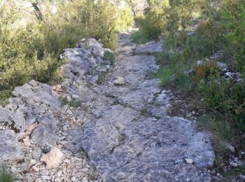
• Grandes pistes et forêts. Très esthétique.
Marche
V.T.T.
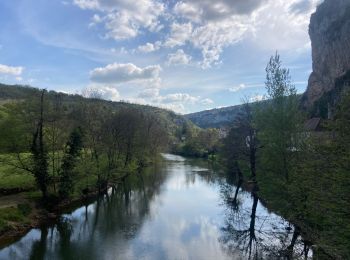
• Départ le long de la D41 à Cabrerets à proximité du pont. On monte beaucoup au début, avec un beau point de vue sur l...

Marche
• Départ le long de la D41 à Cabrerets à proximité du pont. On monte beaucoup au début, avec un beau point de vue sur l...
Marche
Marche
Marche
• difficile, sur le GR et chemin de Compostelle début de l'enregistrement de la rando 200m plus bas
Marche
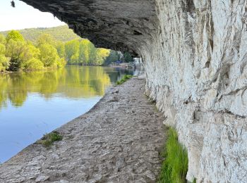
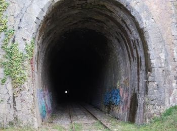
• joli passage sur le chemin de halage dans les falaises. (dans le film Saint Jacques La Mecque )
Marche
Marche
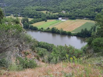
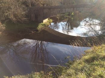
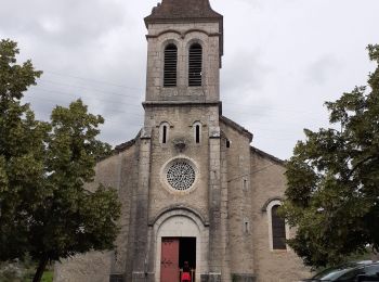
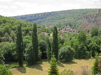
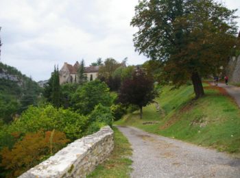
• Ce petit circuit permet de découvrir l'architecture typique d'un village flanqué entre rivière et falaises où l'habit...
Marche
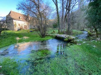
• Seizième étape de notre Chemin de Compostelle qui nous mène de Cabreret à Pasturat. (Km 315,698 à Km 333,882) D’autre...

Marche
• C moi qui decide !

V.T.T.
• Parcours realisé en VTTAE, difficile par ses montées rudes et souvent techniques mais très beau par ses paysages trav...

A pied
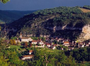
• une balade qui fait decouvrir 2 villages typiques des causses du Quercy Cabrerets flanqué aux falaises vertigineuses ...
V.T.T.
• Un des plus beaux circuits du département mais également un des plus sportifs. Les panoramas sur la vallée du Célé, l...
20 randonnées affichées sur 59
Application GPS de randonnée GRATUITE
 SityTrail
IGN / Instituts géographiques
SityTrail World
Le monde est à vous