


8,2 km | 11,4 km-effort

Utilisateur


Application GPS de randonnée GRATUITE
 SityTrail
IGN / Instituts géographiques
SityTrail World
Le monde est à vous
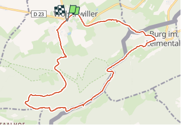
Randonnée Marche de 12,2 km à découvrir à Grand Est, Haut-Rhin, Wolschwiller. Cette randonnée est proposée par helmut68.
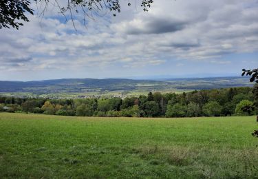
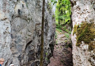
La chaîne du Raemel culmine à 832 m , c'est le point le plus haut du Jura alsacien , on y accède par le " sentier des douaniers " qui suit la frontière franco-suisse .
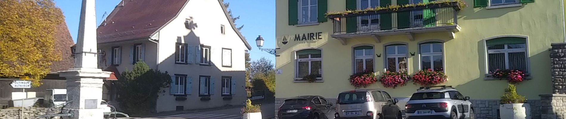
Départ du parking de la mairie de Wolschwiller , empruntez la rue de Kiffis puis 200 m plus loin , prenez à gauche en suivant le balisage " triangle rouge "
Environ 1,5 km plus loin , empruntez l'Unterabyweg toujours balisé " triangle rouge".
Ensuite prenez à gauche vers le Naegeliberg et
le Raemelsberg balisés " triangle bleu " pour rejoindre le sentier des douaniers balisé " chevalet jaune " .
Profitez des multiples points de vue sur les Alpes Suisses , la vallée Suisse proche , les oiseaux ...
Continuez votre randonnée jusqu'au village Suisse de Burg en suivant le balisage " losange jaune " ( parfois peint sur le tronc des arbres ). Un château construit vers 1250 et encore habité mérite un petit détour . Redescendez vers la petite place de la fontaine et prenez la rue du Gassweg ( pas balisé) qui mène dans la forêt dont le chemin forestier est balisé à nouveau " losange jaune " jusqu'au parking de la mairie de Wolschwiller.
Alors à vos chaussures !


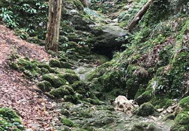
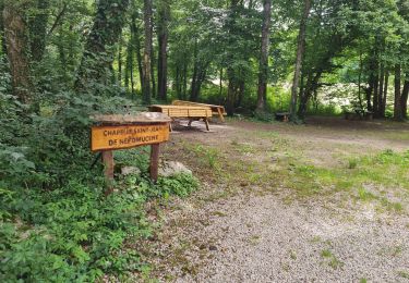
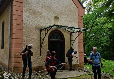
46 photos au total. Cliquez sur une photo pour les afficher toutes dans la galerie.
Marche
Vélo électrique
Marche
Marche
Marche
Marche

Cheval
Marche
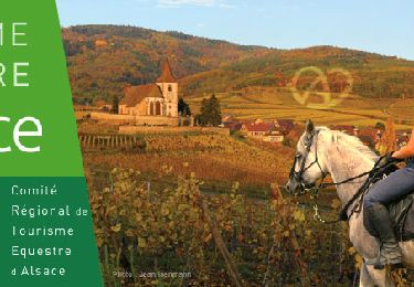
Randonnée équestre