Wolschwiller, Haut-Rhin : Les meilleures randonnées, itinéraires, parcours, balades et promenades

2 commentaires

Wolschwiller : découvrez les meilleures randonnées : 11 pédestres. Tous ces circuits, parcours, itinéraires et activités en plein air sont disponibles dans nos applications SityTrail pour smartphones et tablettes.


Les meilleurs parcours (11)
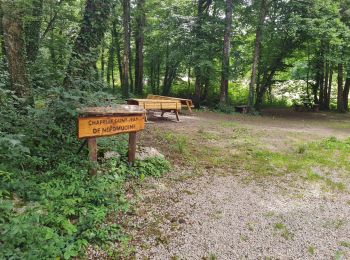
Randonnée Marche Wolschwiller - Rando 05/07/2024 - Photo
Marche 11.698
Km

Marche

Difficile
Wolschwiller, Grand Est, Haut-Rhin, France
11,7 km | 17,5 km-effort
3h 15min
438 m
435 m
Oui
boubou68

• Très belle rando. !! avec des activités annexes rituelles
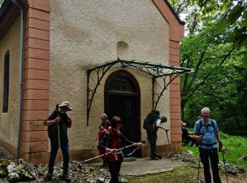
Randonnée Marche Wolschwiller - Rando CLAS du 09/05/202..par PBo - Photo
Marche 20.051
Km

Marche

Très difficile
Wolschwiller, Grand Est, Haut-Rhin, France
20 km | 30 km-effort
4h 24min
731 m
727 m
Oui
boubou68

• Belle rando

Randonnée Marche Wolschwiller - Reco Rando CLAS du 09/05/2024 - Photo
Marche 18.873
Km

Marche

Très difficile
Wolschwiller, Grand Est, Haut-Rhin, France
18,9 km | 28 km-effort
3h 54min
709 m
706 m
Oui
boubou68

• Très belle rando....variante incluse qui mérite une nouvelle trace pour le canyon de Biederthal
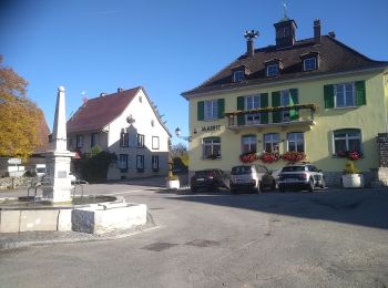
Randonnée Marche Wolschwiller - Le sentier des douaniers - Wolschwiller - Photo
Marche 12.203
Km

Marche

Moyen
(1)
Wolschwiller, Grand Est, Haut-Rhin, France
12,2 km | 18,1 km-effort
3h 30min
440 m
439 m
Oui
helmut68

• La chaîne du Raemel culmine à 832 m , c'est le point le plus haut du Jura alsacien , on y accède par le " sentier des...
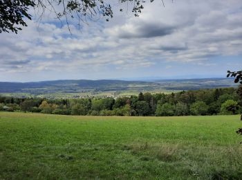
Randonnée Marche Wolschwiller - wolschwiller - Photo
Marche 7.316
Km

Marche

Facile
Wolschwiller, Grand Est, Haut-Rhin, France
7,3 km | 12,7 km-effort
4h 15min
417 m
354 m
Non
jcguew

• belle balade avec un passage en Suisse (Burg)

Randonnée Marche Wolschwiller - Rando Wolfschwiller..Canyon de Biederthal..14Km.D+/- : 615m - Photo
Marche 14.121
Km

Marche

Très difficile
Wolschwiller, Grand Est, Haut-Rhin, France
14,1 km | 22 km-effort
5h 4min
617 m
616 m
Oui
boubou68

• Longue crête escarpée très glisante par temps de pluie.8

Randonnée Marche Wolschwiller - wolschwiller- Landskron - Photo
Marche 26.496
Km

Marche

Wolschwiller, Grand Est, Haut-Rhin, France
26 km | 39 km-effort
6h 47min
957 m
959 m
Oui
chantalwaltzer

• Château

Randonnée A pied Wolschwiller - un pied sur le territoire suisse - Photo
A pied 15.785
Km

A pied

Moyen
Wolschwiller, Grand Est, Haut-Rhin, France
15,8 km | 27 km-effort
6h 2min
810 m
808 m
Oui
senn francis

• wolschwiller /sous le Raemel/Klösterli/Saalhof/wolschwiller

Randonnée Marche Wolschwiller - wolschwiller. Lanskron  - Photo
Marche 25.42
Km

Marche

Très difficile
Wolschwiller, Grand Est, Haut-Rhin, France
25 km | 38 km-effort
5h 43min
923 m
924 m
Oui
Alain28/01

Randonnée Marche Wolschwiller - Wolschwiller  Landskron - Photo
Marche 23.404
Km

Marche

Très difficile
(1)
Wolschwiller, Grand Est, Haut-Rhin, France
23 km | 35 km-effort
8h 3min
901 m
902 m
Oui
Alain28/01

Randonnée Marche Wolschwiller - 01-Wolschwiller-Sentier des Douaniers - Photo
Marche 11.14
Km

Marche

Moyen
Wolschwiller, Grand Est, Haut-Rhin, France
11,1 km | 17 km-effort
1min
442 m
441 m
Oui
geranimo

11 randonnées affichées sur 11

Application GPS de randonnée GRATUITE

Logo SityTrail SityTrail

IGN / Instituts géographiques

Télécharger SityTrail sur l'App Store Télécharger SityTrail sur Google Play

Logo SityTrail SityTrail World

Le monde est à vous

Télécharger SityTrail sur l'App Store Télécharger SityTrail sur Google Play Télécharger SityTrail sur Huawei AppGallery

Activités

Fermer
Mes abonnements