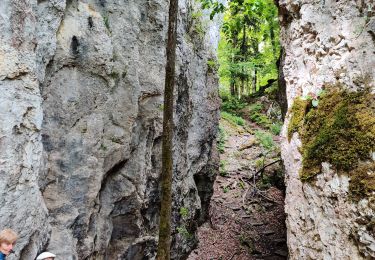
8,2 km | 11,4 km-effort
un pied sur le territoire suisse
senn francis
Utilisateur
Longueur
15,8 km
Altitude max
804 m
Dénivelé positif
810 m
Km-Effort
27 km
Altitude min
450 m
Dénivelé négatif
808 m
Boucle
Oui
Date de création :
2021-03-16 13:57:56.965
Dernière modification :
2021-03-16 14:03:40.808
6h02
Difficulté : Moyen
Application GPS de randonnée GRATUITE
À propos
Randonnée A pied de 15,8 km à découvrir à Grand Est, Haut-Rhin, Wolschwiller. Cette randonnée est proposée par senn francis.
Description
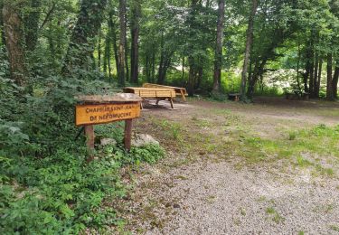
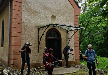
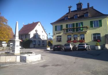
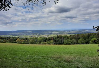
wolschwiller /sous le Raemel/Klösterli/Saalhof/wolschwiller
Localisation
Pays :
France
Région :
Grand Est
Département/Province :
Haut-Rhin
Commune :
Wolschwiller
Localité :
Unknown
Départ:(Dec)
Départ:(UTM)
380554 ; 5257535 (32T) N.
Commentaires
Randonnées à proximité
Rando 05/07/2024
Marche
Difficile
Wolschwiller,
Grand Est,
Haut-Rhin,
France
11,7 km | 17,5 km-effort
3h 15min
Oui
Rando CLAS du 09/05/202..par PBo
Marche
Très difficile
Wolschwiller,
Grand Est,
Haut-Rhin,
France
20 km | 30 km-effort
4h 24min
Oui
Reco Rando CLAS du 09/05/2024
Marche
Très difficile
Wolschwiller,
Grand Est,
Haut-Rhin,
France
18,9 km | 28 km-effort
3h 54min
Oui
Le sentier des douaniers - Wolschwiller
Marche
Moyen
(1)
Wolschwiller,
Grand Est,
Haut-Rhin,
France
12,2 km | 18,1 km-effort
3h 30min
Oui
rdpr 20200929 lutter
Marche
Difficile
Lutter,
Grand Est,
Haut-Rhin,
France
15,8 km | 23 km-effort
4h 52min
Oui
wolschwiller
Marche
Facile
Wolschwiller,
Grand Est,
Haut-Rhin,
France
7,3 km | 12,7 km-effort
4h 15min
Non
Bouxwiller Doubs Franche Montagne
Cheval
Difficile
(1)
Bouxwiller,
Grand Est,
Haut-Rhin,
France
104 km | 146 km-effort
18h 22min
Non
randonnée au départ d'Oltingue chapelle St Martin
Marche
Difficile
Oltingue,
Grand Est,
Haut-Rhin,
France
13,4 km | 18,2 km-effort
3h 25min
Oui