


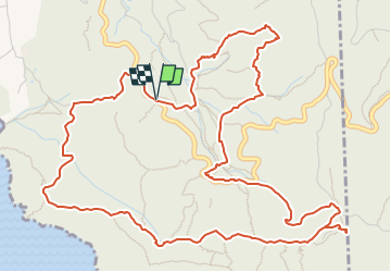


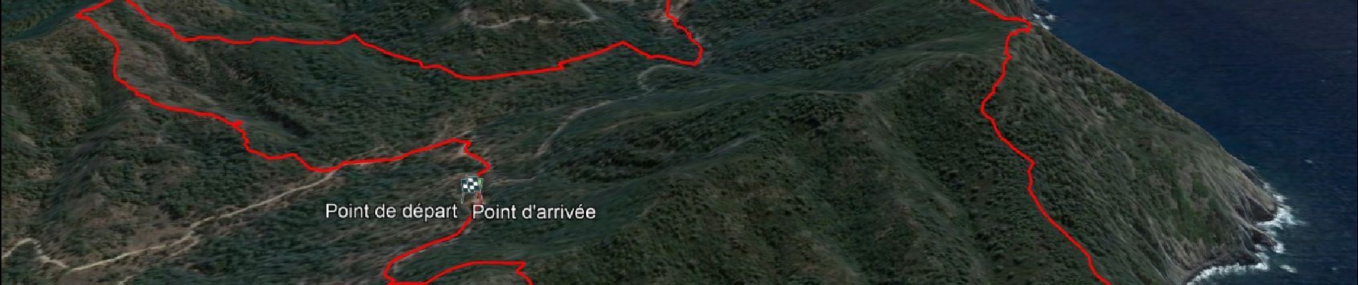
8,2 km | 10,7 km-effort

Utilisateur GUIDE


Application GPS de randonnée GRATUITE
 SityTrail
IGN / Instituts géographiques
SityTrail World
Le monde est à vous
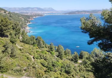
Randonnée Marche de 8,1 km à découvrir à Provence-Alpes-Côte d'Azur, Var, Six-Fours-les-Plages. Cette randonnée est proposée par affinetataille.
Petite boucle avec peu de difficultés.
Une montée et une descente un peu "raides" mais courtes.
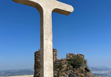
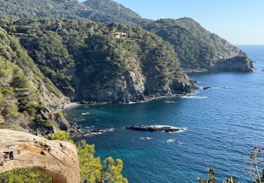
De superbes points de vue.


22 photos au total. Cliquez sur une photo pour les afficher toutes dans la galerie.

Marche
Marche
Marche

Marche

V.T.T.

Marche

Marche
Marche
Marche