


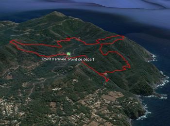
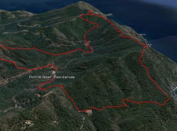
8,2 km | 10,7 km-effort
Six-Fours-les-Plages : découvrez les meilleures randonnées : 155 pédestres et 17 à vélo ou VTT. Tous ces circuits, parcours, itinéraires et activités en plein air sont disponibles dans nos applications SityTrail pour smartphones et tablettes.
Marche


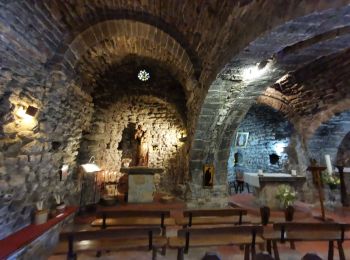
• Très belle randonnée pouvant se faire en 1/2 journée. Mais c'est mieux de pique-niquer à côté de la chapelle et atten...
Marche
• Magnifique ranfon
Marche
Marche
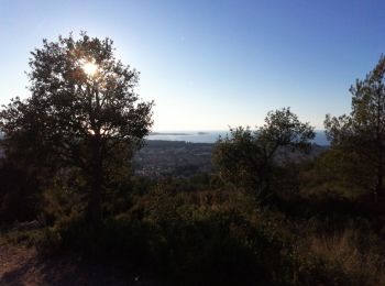
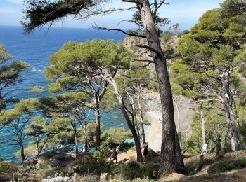
• Boucle dans les vallons du Cap Sicié.
Marche
• Petite boucle avec peu de difficultés. Une montée et une descente un peu "raides" mais courtes. De superbes points de...

Vélo
•
Marche
• Une randonnée magnifique dans un secteur que je ne connaissais pas en tant que randonneur. En partant du parking du m...
Marche
• Six-Fours les Plages
Marche
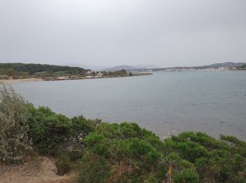
• Chemin du littoral partir du Brusc .
Marche
• circuit validé, Aire des masques, contour du Montanier, le Francillon avec ses tables pour déjeuner, retour en longea...
Marche
• Certains passages très étroits, ou interdits
Marche
Marche
• Randonnée avec jolie paysage,belle vue sur la presqu’île de saint-Mandrier
Marche
• toute en montée
Marche
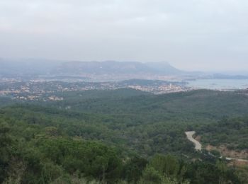
• Beaux panormas

Marche
Marche
• Sentier littoral cap sicié
Marche
Marche
• fait
Marche
20 randonnées affichées sur 179
Application GPS de randonnée GRATUITE
 SityTrail
IGN / Instituts géographiques
SityTrail World
Le monde est à vous