


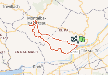

11 km | 15,3 km-effort


Utilisateur


Application GPS de randonnée GRATUITE
 SityTrail
IGN / Instituts géographiques
SityTrail World
Le monde est à vous
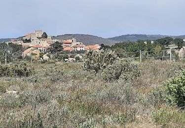
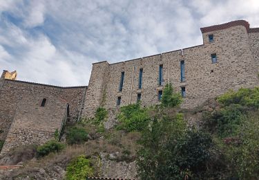
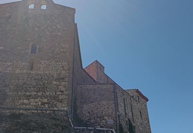
Randonnée Marche de 17,5 km à découvrir à Occitanie, Pyrénées-Orientales, Ille-sur-Têt. Cette randonnée est proposée par Arcy.
Rando organisée par Martial.
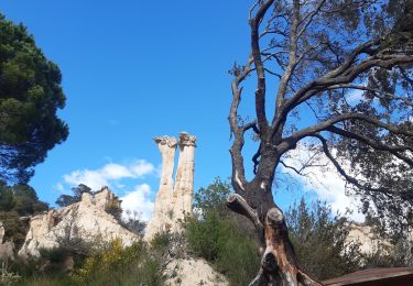
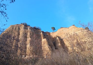
Du hors piste
A ne pas faire l'été

Marche
Marche
Marche
Marche
Marche
Marche
Marche

Marche

Marche