


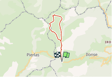

16,5 km | 31 km-effort

Utilisateur


Application GPS de randonnée GRATUITE
 SityTrail
IGN / Instituts géographiques
SityTrail World
Le monde est à vous
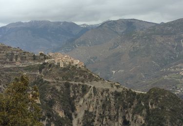
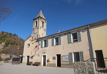
Randonnée Marche de 10,8 km à découvrir à Provence-Alpes-Côte d'Azur, Alpes-Maritimes, Ilonse. Cette randonnée est proposée par GrouGary.
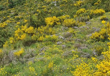
Circuit sans difficultés, même hors sentier. Trolles et Gentianes côté Nord.
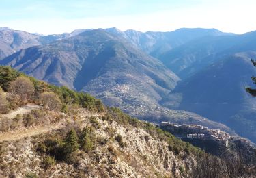
Très beau sur crête mamelonnée


A pied

A pied
Marche
Raquettes à neige
Marche
Marche

Marche
A pied
Marche