


11,7 km | 21 km-effort
Ilonse : découvrez les meilleures randonnées : 21 pédestres et 1 à vélo ou VTT. Tous ces circuits, parcours, itinéraires et activités en plein air sont disponibles dans nos applications SityTrail pour smartphones et tablettes.
Raquettes à neige


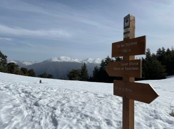
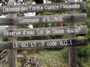
• Départ du col de la Sinne, vers le col des Fourches Beaucoup de pins écroulés au milieu du sentier ! Pas mal de neig...
V.T.T.
• PROGRAMME Samedi 12 juin 2010 – 1er Enduro Marathon Longue distance 7h45: accueil et remise des plaques 8h30: briefin...

A pied
• Randonnée pédestre - Au départ d’Ilonse, hameau d’Irougne (570 m) Site web: https://randoxygene.departement06.fr/moy...
Marche
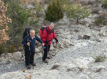
Marche
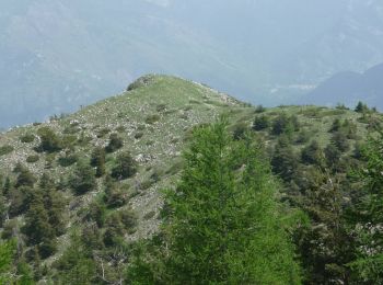
• Circuit sans difficultés, même hors sentier. Trolles et Gentianes côté Nord. Très beau sur crête mamelonnée
Marche
Marche
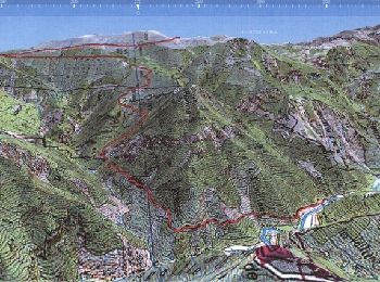
• La randonnée décrite est la suivante : Col de la Sinne (1438) => Mont de Lieuche (1756) => Pointe de la Chavanette (1...
Marche
• Départ du col de la Sinne B220-montée en forêt au col des Fourches. B222- Suivre le sentier sur le flanc Est, passer ...

Marche
• Rando Baragneurs avec Ida
Marche
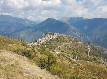
• Petite rando facile avec une très jolie vue du Brec à 360°. traversr Ilonse et prendre la route de Pierlas sur 4km ju...

Raquettes à neige
•
Marche
Marche
Marche
Marche
Marche
Marche
Marche
Marche
Marche
20 randonnées affichées sur 25
Application GPS de randonnée GRATUITE
 SityTrail
IGN / Instituts géographiques
SityTrail World
Le monde est à vous