


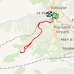

6 km | 10,4 km-effort


Utilisateur

Application GPS de randonnée GRATUITE
 SityTrail
IGN / Instituts géographiques
SityTrail World
Le monde est à vous
Randonnée Marche de 14,6 km à découvrir à Provence-Alpes-Côte d'Azur, Hautes-Alpes, Puy-Saint-Vincent. Cette randonnée est proposée par dmarquaire.
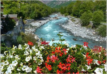
Belle montée à l’ombre au départ de Puy st Vincent 1400 - chapelle - hameau : maisons restaurées - puis montée le long du torrent passage au dessus de la cascade vers cabane.

Marche

Marche
A pied
A pied

A pied

Raquettes à neige

Marche

Marche
Marche