


6 km | 10,4 km-effort
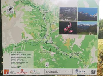
Puy-Saint-Vincent : découvrez les meilleures randonnées : 77 pédestres et 14 à vélo ou VTT. Tous ces circuits, parcours, itinéraires et activités en plein air sont disponibles dans nos applications SityTrail pour smartphones et tablettes.
Marche


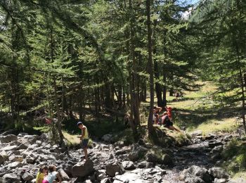
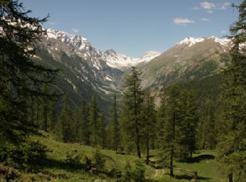
• Très belle randonnée avec des enfants (4 ans et 2 ans dans sac à dos).
Marche
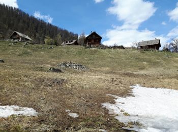
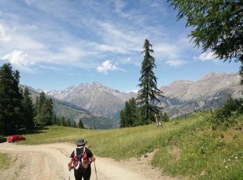
• Départ à la maison du miel, entre les stations 1400m et 1600m. On emprunte au départ le sentier des Canaux, typique d...
Raquettes à neige
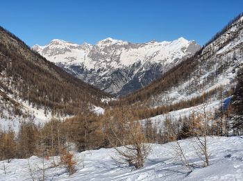
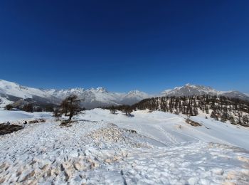
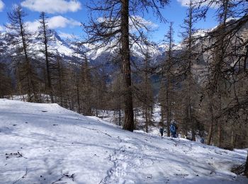
• renseignez-vous de l'état de la neige auprès du bureau des guides avant de vous lancer D'autre part, le sentier qui m...
Marche
• rando effectuée le 11 avril 2017, les raquettes étaient nécessaires à partir du Laus. agréable ballade à travers bois...
Marche
• ballade effectuées le 12 avril 2017; à cause des grosses chaleurs les raquettes n'étaient plus nécessaires. jolie bal...
Marche
• Rando effectuée le 10 avril, raquettes sur le sac pour le parcours aller et raquettes aux pieds pour le trajet retour.
Raquettes à neige
Raquettes à neige
Marche
• Randonnée avec des enfants (2 ans dans sac à dos et 4 ans).
Marche
• Randonnée avec des enfants (2 ans dans sac à dos et 4 ans).
Marche
• Depart Puy saint vincent 1800 Vers cascades retour par puy saint vincent 2000
Marche
• Très belle rando VTT très roulante sans réelle difficulté (- de 500 m de poussage). Les paysages sont magnifiques !

Marche
Marche
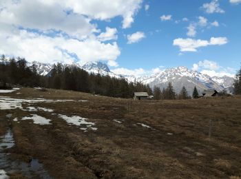
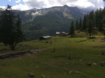
• Départ au centre du hameau des Prés en empruntant le Sentier des Vaches jusqu'au plateau de Poustère. Ce chemin agréa...
Marche
• puy saint vincent
Marche
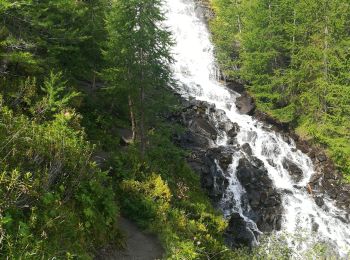
• cascades
Marche
•
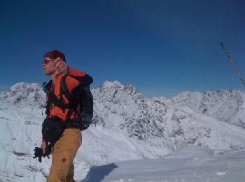
Raquettes à neige
V.T.T.
Marche
• Rando famille, peu de dénivellé sauf en fin de parcours. Attention aux bords de chemin en arrivant, c'est escarpé.
20 randonnées affichées sur 122
Application GPS de randonnée GRATUITE
 SityTrail
IGN / Instituts géographiques
SityTrail World
Le monde est à vous