


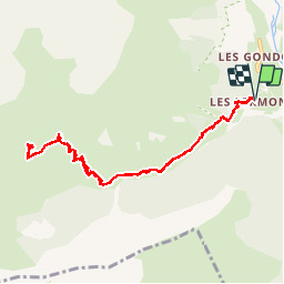

16,3 km | 30 km-effort

Utilisateur


Application GPS de randonnée GRATUITE
 SityTrail
IGN / Instituts géographiques
SityTrail World
Le monde est à vous
Randonnée Marche de 10,3 km à découvrir à Provence-Alpes-Côte d'Azur, Hautes-Alpes, Champoléon. Cette randonnée est proposée par PapouBertrand.
Randonnée du CSA Gap, assez facile, 10 Km et 700m de dénivelé, pour voir des Bouquetins. Possibilité de se sustenter au refuge du Tourond.


Marche

Marche

A pied

Marche

Marche

Marche

Ski de randonnée

Ski de randonnée
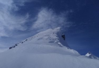
Ski de randonnée