


16,3 km | 30 km-effort
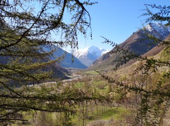
Champoléon : découvrez les meilleures randonnées : 123 pédestres et 1 à vélo ou VTT. Tous ces circuits, parcours, itinéraires et activités en plein air sont disponibles dans nos applications SityTrail pour smartphones et tablettes.
Marche


• Randonnée très longue et très sportive réservée à des montagnards aguerris. Entre le bas de la cascade de Prelles et ...
A pied
• Petite refuge très sympa et facile d'accès. Départ des Fermonts, situé juste après les Borels, dans la vallée de Cham...
Marche
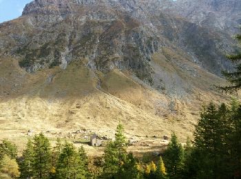
• Au départ des Borels dans la vallée de Champoléon. Un vieux village abandonné depuis 1913. Quelques vestiges. On peut...
Marche
• Une grande randonnée qui débute au lieu-dit "Les Auberts", au fond de la vallée de Champoléon. Attention, peu de temp...
Marche
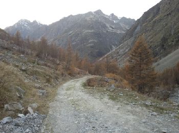
• départ les Borels
Marche
• Randonnée vers le refuge du Tourrond au départ des Fermonds, passage à la cascade de La Pisse puis retour par l'autre...
Marche
• Randonnée sans difficulté technique particulière. Accueil très sympa au refuge et possibilité de prendre une assiette...
Marche
• ALLER / RETOUR... live de Cris & Karine le 20220715 départ: " les Baumes " long... aride... mais belle récompense ave...
Marche
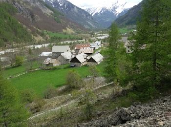
• Très jolie balade le long du torrent jusqu'à l'ancien village de Meollion faite fin mars. NB parking 200m du lieu de ...
Marche
Marche
• Retour vers le passé. Témoignages d'un temps révolu ou nos anciens vivaient en symbiose au rythme des saisons et de l...
Marche
• Randonnée du CSA Gap, assez facile, 10 Km et 700m de dénivelé, pour voir des Bouquetins. Possibilité de se sustenter ...
Marche
• Rando facile dans un vallon sauvage. Propice à l'observation des chamois et Bouquetins. Difficile à partir du couloir...
Marche
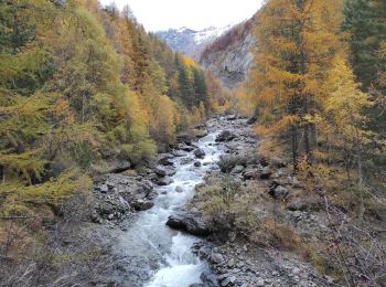
• Très belle rando automnale.Luminosité et couleur remarquable en cette saison.
Marche
• Très longue randonnée. Pas de difficultés particulières.
Marche
• passage du verrou exposé et très raide . Peut présenter une réelle difficulté en début de saison. Faune sauvage abond...

Marche
Marche
Marche
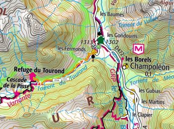
• http://www.refugedutourond.com/ Alt 1712m
Marche
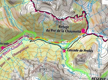
• https://refugepredelachaumette.ffcam.fr/ Alt 1450m
20 randonnées affichées sur 141
Application GPS de randonnée GRATUITE
 SityTrail
IGN / Instituts géographiques
SityTrail World
Le monde est à vous