


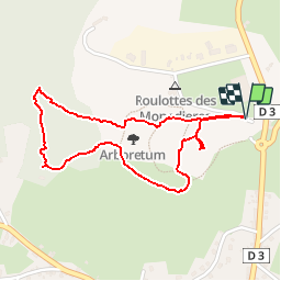

11,2 km | 15,7 km-effort

Utilisateur


Application GPS de randonnée GRATUITE
 SityTrail
IGN / Instituts géographiques
SityTrail World
Le monde est à vous
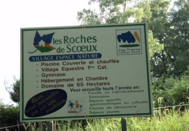
Randonnée Marche de 2,1 km à découvrir à Nouvelle-Aquitaine, Corrèze, Chamberet. Cette randonnée est proposée par dlaudain.
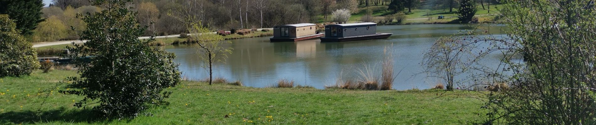
Super balade circuit de Tèrra Aventura agréable entretenu avec sur le parcours une ferme pédagogique, un parc avec des Daims, péniches sur un étang...
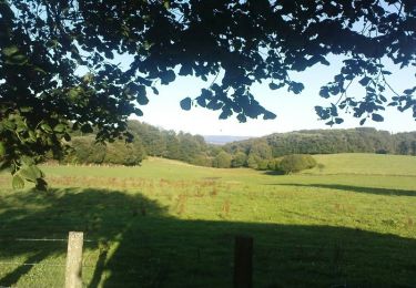
Assez courte super balade en famille


Marche
Marche
Marche
Marche

Marche
Marche
Marche
Marche
Marche