


11,2 km | 15,7 km-effort
Chamberet : découvrez les meilleures randonnées : 16 pédestres. Tous ces circuits, parcours, itinéraires et activités en plein air sont disponibles dans nos applications SityTrail pour smartphones et tablettes.
Marche


• Le parcours vous entraîne au cœur de la forêt Chambertoise. Tout au long de votre randonnée, vous allez découvrir, gr...
Marche
• Partant de l'arboretum, vous découvrirez de somptueux points de vue sur l'ensemble du massif des Monédières, à traver...
Marche
• Super balade circuit de Tèrra Aventura agréable entretenu avec sur le parcours une ferme pédagogique, un parc avec de...
Marche
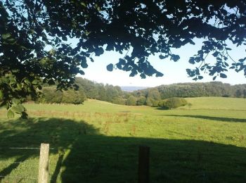
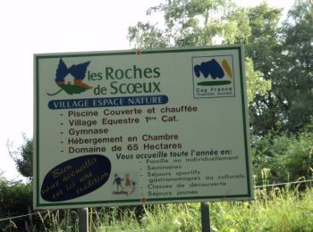
• Par le biais de cette randonnée, découvrez la rivière la Soudaine, le site des Roches de Scoeux et des vues variées s...

Marche
• Un jour de pluie une boucle d’à peine une heure
Marche
• Variante de 35 km sur le chemin vers Rocamadour et Saint-Jacques-de-Compostelle. Retrouvez tous les hébergements et s...
Marche
• Par le biais de cette randonnée, découvrez la rivière la Soudaine, le site des Roches de Scoeux et des vues variées s...
Marche
• Variante de 35 km sur le chemin vers Rocamadour et Saint-Jacques-de-Compostelle. Retrouvez tous les hébergements et s...
Marche
• Paysages limousins de Corrèze
Marche
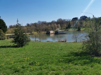
• Montée jusqu'au village vacances des Roches de Scoeux, d'où l'on voit le Mont-Ceix, ensuite descente sur Chamberet. D...
Marche
• Circuit sur les hauteurs de l'arboretum de Chamberet. Départ du parking de l'arboretum.
Marche
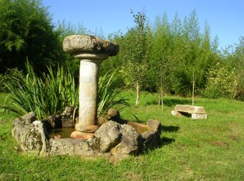
• Circuit à caractère historique. La chapelle Saint-Dulcet n'existe quasiment plus mais il reste une petite statue de l...
Marche
Marche
Marche
Marche
16 randonnées affichées sur 16
Application GPS de randonnée GRATUITE
 SityTrail
IGN / Instituts géographiques
SityTrail World
Le monde est à vous