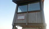

Saint-Jurs - le Vigie

kael
Utilisateur

Longueur
7,1 km

Altitude max
1514 m

Dénivelé positif
639 m

Km-Effort
13,6 km

Altitude min
896 m

Dénivelé négatif
26 m
Boucle
Non
Date de création :
2014-12-10 00:00:00.0
Dernière modification :
2014-12-10 00:00:00.0
1h31
Difficulté : Moyen

Application GPS de randonnée GRATUITE
À propos
Randonnée Marche de 7,1 km à découvrir à Provence-Alpes-Côte d'Azur, Alpes-de-Haute-Provence, Saint-Jurs. Cette randonnée est proposée par kael.
Description
Superbe vue panoramique du plateau de Valensole, de l'Agra et du Montdenier.
L'abri au sommet est le bienvenue pour se protéger du vent
Localisation
Pays :
France
Région :
Provence-Alpes-Côte d'Azur
Département/Province :
Alpes-de-Haute-Provence
Commune :
Saint-Jurs
Localité :
Unknown
Départ:(Dec)
Départ:(UTM)
275087 ; 4864475 (32T) N.
Commentaires
Randonnées à proximité
moustier mont deniers 18k 100m


Marche
Très difficile
Moustiers-Sainte-Marie,
Provence-Alpes-Côte d'Azur,
Alpes-de-Haute-Provence,
France

17,5 km | 30 km-effort
7h 53min
Non
estoublon sentier des oliviers gorges trevans 21k 950m


Marche
Facile
Estoublon,
Provence-Alpes-Côte d'Azur,
Alpes-de-Haute-Provence,
France

21 km | 33 km-effort
8h 8min
Oui
2023-10-03 Naverre-Cascade du Riou-Marignol


Marche
Moyen
Moustiers-Sainte-Marie,
Provence-Alpes-Côte d'Azur,
Alpes-de-Haute-Provence,
France

10,2 km | 15,9 km-effort
3h 24min
Oui
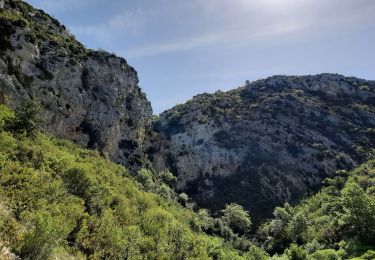
la bergerie de marignol.


Marche
Moyen
Moustiers-Sainte-Marie,
Provence-Alpes-Côte d'Azur,
Alpes-de-Haute-Provence,
France

8,6 km | 13,3 km-effort
3h 22min
Oui
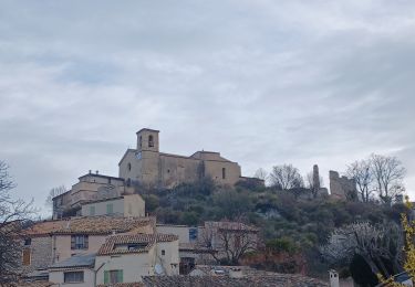
SAINT JURS sommet de l Agra , moulin de Mouresse o l s


Marche
Difficile
Saint-Jurs,
Provence-Alpes-Côte d'Azur,
Alpes-de-Haute-Provence,
France

16,1 km | 26 km-effort
4h 37min
Oui
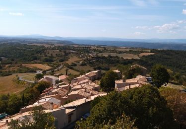
de saint jurs au col


Marche
Très facile
Saint-Jurs,
Provence-Alpes-Côte d'Azur,
Alpes-de-Haute-Provence,
France

9,4 km | 16,4 km-effort
3h 6min
Oui
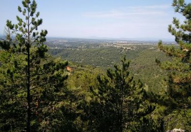
segries vincel moustiers segries


Marche
Moyen
Moustiers-Sainte-Marie,
Provence-Alpes-Côte d'Azur,
Alpes-de-Haute-Provence,
France

15 km | 23 km-effort
4h 40min
Non
saint Jurs - Puimoisson


V.T.T.
Difficile
Saint-Jurs,
Provence-Alpes-Côte d'Azur,
Alpes-de-Haute-Provence,
France

23 km | 29 km-effort
2h 28min
Oui
col de st jurs_montdenier


Marche
Moyen
Saint-Jurs,
Provence-Alpes-Côte d'Azur,
Alpes-de-Haute-Provence,
France

5,7 km | 11,1 km-effort
4h 18min
Oui


 SityTrail


