


17,2 km | 24 km-effort

Utilisateur


Application GPS de randonnée GRATUITE
 SityTrail
IGN / Instituts géographiques
SityTrail World
Le monde est à vous
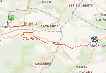
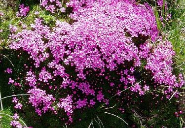
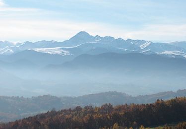
Randonnée Cheval de 14,7 km à découvrir à Occitanie, Haute-Garonne, Montbrun-Bocage. Cette randonnée est proposée par tracegps.
Troisième et dernière étape de la boucle des Petites Pyrénées. D’autres infos ICI. Balade proposée par le Bureau des Guides Équestres Transpyrénéens


V.T.T.
Marche
A pied
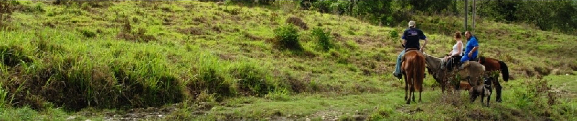
Cheval
V.T.T.

Marche
Marche
Marche
Marche