


17,2 km | 24 km-effort
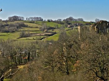
Montbrun-Bocage : découvrez les meilleures randonnées : 7 pédestres, 1 à vélo ou VTT et 1 parcours équestres. Tous ces circuits, parcours, itinéraires et activités en plein air sont disponibles dans nos applications SityTrail pour smartphones et tablettes.
V.T.T.


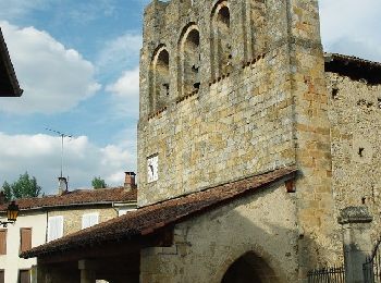
• Le dimanche matin, la charmante commune de Montbrun-Bocage accueille un marché bio, très sympa. Pendant les courses d...

Marche
• Le dimanche matin, la charmante commune de Montbrun-Bocage accueille un marché bio, très sympa. Pendant les courses d...
A pied
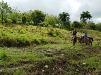
Cheval
• Troisième et dernière étape de la boucle des Petites Pyrénées. D’autres infos ICI. Balade proposée par le Bureau des ...

Marche
Marche
Marche
Marche

Course à pied
9 randonnées affichées sur 9
Application GPS de randonnée GRATUITE
 SityTrail
IGN / Instituts géographiques
SityTrail World
Le monde est à vous