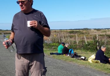
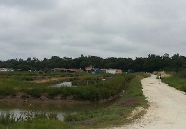
Randonnée Vélo Saint-Georges-d'Oléron - Demi-tour de l'ile d'Oleron - Photo
 tracegps
tracegps

Utilisateur

© OpenStreetMap contributors
Longueur
Longueur
58 km
Altitude max
Altitude max
21 m
Dénivelé positif
Dénivelé positif
314 m
Km-Effort
Km-Effort  
62 km
Altitude min
Altitude min
-1 m
Dénivelé négatif
Dénivelé négatif
317 m
Boucle
Boucle
Non
Date de création :
2014-12-10 00:00:00.0
Dernière modification :
2014-12-10 00:00:00.0

(0 Avis)

Vélo
Vélo
6h00
Difficulté : Difficile

Scannez ce code QR pour ouvrir la randonnée dans l'application SityTrail

Application GPS de randonnée GRATUITE

Logo SityTrail SityTrail

IGN / Instituts géographiques

Télécharger SityTrail sur l'App Store Télécharger SityTrail sur Google Play

Logo SityTrail SityTrail World

Le monde est à vous

Télécharger SityTrail sur l'App Store Télécharger SityTrail sur Google Play Télécharger SityTrail sur Huawei AppGallery

À propos

Randonnée Vélo de 58 km à découvrir à Nouvelle-Aquitaine, Charente-Maritime, Saint-Georges-d'Oléron. Cette randonnée est proposée par tracegps.

Description

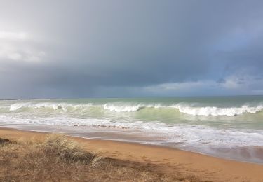
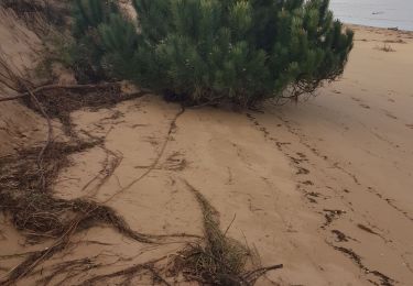
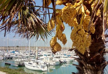
Circuit sympa au départ de Boyardville. Passage par la forêt et très proche de la plage (attention, beaucoup de sable en début de parcours, de quoi dégouter les petites natures). Ensuite, plus roulant. Un passage par la plage après Chassiron jusqu'à la plage des Huttes. Un saut par Les Sables Vigniers et enfin, retour à la maison, par St Pierre D'Oléron.

Profil altimétrique

Points d'intérêt

Point d'intérêt Saint-Georges-d'Oléron - Lap 0 - Photo
tracegps
SAINT-GEORGES-D'OLÉRON 
Point d'intérêt Saint-Georges-d'Oléron - Lap 1 - Photo
tracegps
SAINT-GEORGES-D'OLÉRON 

Localisation

Pays :
France
Région :
Nouvelle-Aquitaine
Département/Province :
Charente-Maritime
Commune :
Saint-Georges-d'Oléron
Localité :
Unknown
Départ:(Dec)
Départ:(UTM)
635810 ; 5092002 (30T) N.

Randonnées à proximité

Randonnée Marche Saint-Pierre-d'Oléron - oléron salines - Photo
Marche
cello1954

Marche

Très facile
(3)
Saint-Pierre-d'Oléron, Nouvelle-Aquitaine, Charente-Maritime, France
9,2 km | 9,6 km-effort
2h 2min
Oui
Randonnée Marche Saint-Pierre-d'Oléron - rando st pierre - Photo
Marche
autantmichaud

Marche

Très facile
Saint-Pierre-d'Oléron, Nouvelle-Aquitaine, Charente-Maritime, France
12,4 km | 12,9 km-effort
4h 5min
Oui
Randonnée Marche Saint-Georges-d'Oléron - gautrelle - Photo
Marche
thomas.o.vert

Marche

Moyen
Saint-Georges-d'Oléron, Nouvelle-Aquitaine, Charente-Maritime, France
7,2 km | 8 km-effort
1h 58min
Oui
Randonnée Marche Saint-Pierre-d'Oléron - bellevue - Photo
Marche
thomas.o.vert

Marche

Facile
Saint-Pierre-d'Oléron, Nouvelle-Aquitaine, Charente-Maritime, France
6,9 km | 7,3 km-effort
1h 42min
Non
Randonnée Marche Saint-Georges-d'Oléron - boyard ville - Photo
Marche
Maca8284

Marche

Très facile
Saint-Georges-d'Oléron, Nouvelle-Aquitaine, Charente-Maritime, France
10,5 km | 11,3 km-effort
2h 35min
Non
Randonnée Vélo Saint-Georges-d'Oléron - Boyard_ville - Photo
Vélo
olaze

Vélo

Facile
Saint-Georges-d'Oléron, Nouvelle-Aquitaine, Charente-Maritime, France
26 km | 28 km-effort
1h 37min
Oui
Randonnée Marche Saint-Georges-d'Oléron - chemin des fleurs - Photo
Marche
philipperegine

Marche

Très facile
Saint-Georges-d'Oléron, Nouvelle-Aquitaine, Charente-Maritime, France
5,3 km | 5,6 km-effort
1h 28min
Oui
Randonnée Autre activité Saint-Georges-d'Oléron - boyardville - Photo
Autre activité
sy!

Autre activité

Très facile
Saint-Georges-d'Oléron, Nouvelle-Aquitaine, Charente-Maritime, France
47 km | 50 km-effort
3h 2min
Non
Randonnée V.T.C. Saint-Georges-d'Oléron - Boyarville - le chateau - Photo
V.T.C.
christian19

V.T.C.

Facile
Saint-Georges-d'Oléron, Nouvelle-Aquitaine, Charente-Maritime, France
12,4 km | 13 km-effort
56min
Non


Fermer
Mes abonnements