


90 km | 95 km-effort
Saint-Georges-d'Oléron : découvrez les meilleures randonnées : 64 pédestres, 42 à vélo ou VTT et 2 parcours équestres. Tous ces circuits, parcours, itinéraires et activités en plein air sont disponibles dans nos applications SityTrail pour smartphones et tablettes.
V.T.T.


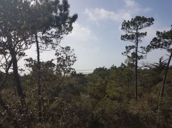
• tour de l'ile d'oléron.petit trajet sympa, à faire tranquillement.dommage, un peu gris ce matin là!
Marche
Marche
Marche
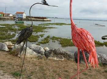
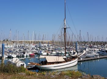
• St Denis oleron
V.T.C.
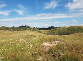
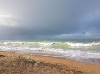
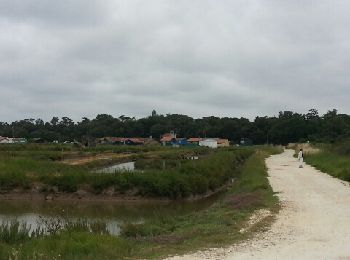
• Boucle par les marais, côte sauvage, plage de la Hutte, Chassiron, St Denis d Oléron, la Bree et le port du Douet
V.T.C.
• Boucle en passant par les marais, forêt et plage des Saumonards

Marche
Vélo
• Tour , départ Boyard Ville , marais , nord de St Pierre , vignes, St Georges et retour par forêt
Marche
• fort royer

Autre activité
•

V.T.C.
• En vélo
Cyclotourisme
• par les pistes cyclables
V.T.C.
• Boucle à vélo promenade.
V.T.T.
• Boucle vélo par les pistes et petites routes sur île Oleron
Marche
Marche
V.T.T.
• Le tour des Salines
Vélo électrique
• St Pierrre marche et nouvelle selle de vélo
Vélo électrique
• Bree les Bains St Dénis Chassiron retour par côté ouest face au vent. Total 36 km.
Vélo électrique
• Camping vers Boyarville-StPierre-Sauzelle à vélo
20 randonnées affichées sur 112
Application GPS de randonnée GRATUITE
 SityTrail
IGN / Instituts géographiques
SityTrail World
Le monde est à vous