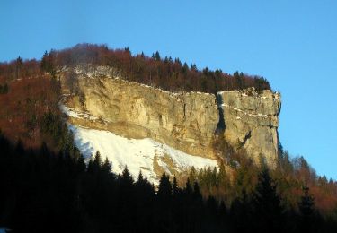
39 km | 49 km-effort
mi route mi vtt
Christophe.39
Utilisateur
Longueur
39 km
Altitude max
1288 m
Dénivelé positif
842 m
Km-Effort
50 km
Altitude min
862 m
Dénivelé négatif
840 m
Boucle
Oui
Date de création :
2019-01-15 14:08:16.317
Dernière modification :
2019-01-15 14:08:16.317
2h29
Difficulté : Moyen
Application GPS de randonnée GRATUITE
À propos
Randonnée V.T.T. de 39 km à découvrir à Bourgogne-Franche-Comté, Jura, Prémanon. Cette randonnée est proposée par Christophe.39.
Description
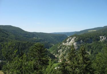
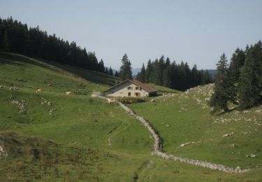
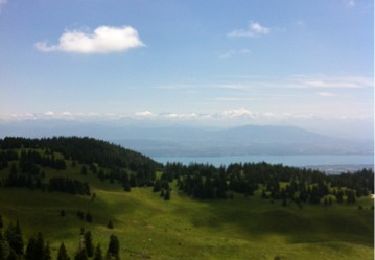
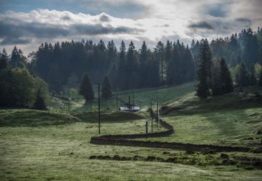
Les Arcets bois-d'amont, les risoux et retour.
Localisation
Pays :
France
Région :
Bourgogne-Franche-Comté
Département/Province :
Jura
Commune :
Prémanon
Localité :
Unknown
Départ:(Dec)
Départ:(UTM)
271541 ; 5151553 (32T) N.
Commentaires
Randonnées à proximité
Lac de Lamoura et Valserine - Prémanon
Vélo
Moyen
(1)
,
Bourgogne-Franche-Comté,
Jura,
France
2h 0min
Oui
Le Belvédère des Maquisards - Prémanon
Marche
Moyen
(1)
,
Bourgogne-Franche-Comté,
Jura,
France
5,4 km | 7,8 km-effort
2h 0min
Oui
Autour de Prémanon
Marche
Très difficile
(1)
,
Bourgogne-Franche-Comté,
Jura,
France
18 km | 27 km-effort
6h 0min
Oui
Le Noirmont - Les Rousses
Marche
Très difficile
(2)
Les Rousses,
Bourgogne-Franche-Comté,
Jura,
France
15,1 km | 23 km-effort
6h 0min
Oui
dole1
Marche
Très facile
(2)
Prémanon,
Bourgogne-Franche-Comté,
Jura,
France
6,6 km | 12,5 km-effort
1h 49min
Oui
Prémanon, Mont Fier
Marche
Très facile
(1)
,
Bourgogne-Franche-Comté,
Jura,
France
10,9 km | 15,8 km-effort
2h 34min
Non
Lac des Rousses
Raquettes à neige
Moyen
(1)
Les Rousses,
Bourgogne-Franche-Comté,
Jura,
France
13,8 km | 18,4 km-effort
4h 15min
Oui
mon 8 de La DÔLE
Marche
Moyen
Prémanon,
Bourgogne-Franche-Comté,
Jura,
France
8,3 km | 14,5 km-effort
4h 23min
Oui