


6,6 km | 12,5 km-effort
Prémanon : découvrez les meilleures randonnées : 73 pédestres, 27 à vélo ou VTT et 4 parcours équestres. Tous ces circuits, parcours, itinéraires et activités en plein air sont disponibles dans nos applications SityTrail pour smartphones et tablettes.
Marche


•
Marche
Marche
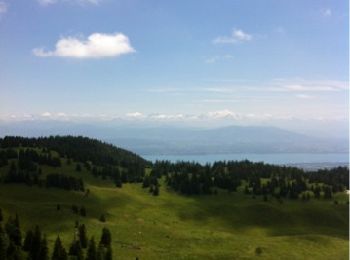
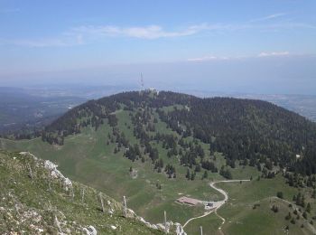
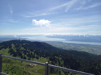
• 600 mètres de dénivelé positif. col de la porte et de la Dole par les crêtes.
Marche
• très belle randonnée

Marche
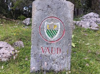
• Haut Jura, forêt du massacre, haut pâturage.
Marche
• Pour accéder au parking des Dappes / La Dôle depuis les rousses, prenez la direction du Col de la Faucille. Au parkin...

Marche
• marche

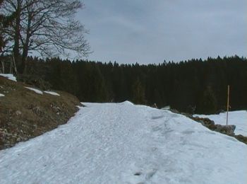
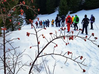
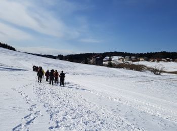
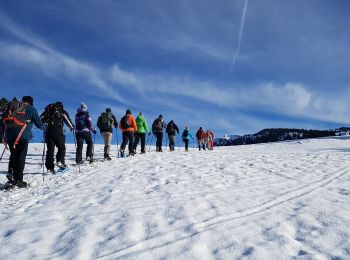
Raquettes à neige
• Boucle raquette sur piste damée belles vues sur les pâturages, fruitières et forêt.
Marche
• Boucle raquette sur piste damée belles vues sur les pâturages, fruitières et forêt.
Marche
Marche
Marche
Marche
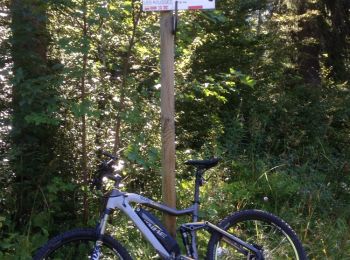
V.T.T.
• Randonnée en VTT électrique par la traversée du risoux.Route et routes forestières sauf pour le retour par le bief de...

Marche
• marche en forêt et beau point de vue.
Raquettes à neige

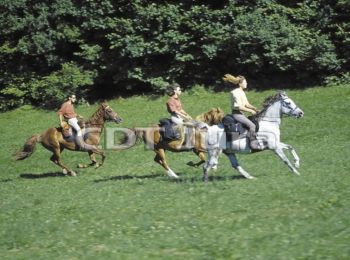
Cheval
• Haut Jura - Prémanon - Château des Près L’association du Jura du Grand Huit est née en 1987, elle est spécialisée alo...
V.T.T.
• Haut Jura - Prémanon - Château des Près L’association du Jura du Grand Huit est née en 1987, elle est spécialisée alo...

Marche
• Haut Jura - Prémanon - Château des Près L’association du Jura du Grand Huit est née en 1987, elle est spécialisée alo...
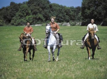
Cheval
• Haut Jura - Chapelle des Bois- Prémanon L’association du Jura du Grand Huit est née en 1987, elle est spécialisée alo...
20 randonnées affichées sur 146
Application GPS de randonnée GRATUITE
 SityTrail
IGN / Instituts géographiques
SityTrail World
Le monde est à vous